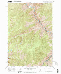
1962 Map of Butts Creek Point
USGS Topo · Published 1977About this map
The Salmon River and the Middle Fork Salmon River converge in this remote corridor of the Salmon National Forest, defining the jagged boundary between Idaho and Lemhi counties. Mapped in the early 1960s, the landscape is a network of named drainages like Placer Creek and Bear Basin Creek that feed into the main river canyon. High points such as Butts Creek Point Lookout and Nipple Lookout provide strategic vantage points over the complex topography, while an abandoned airstrip near the West Fork Butts Creek hints at earlier aviation-supported access to these mountain reaches.
Find a feature on this map
33 named features on this map. Tap any name to fly to it.
Don’t see what you’re looking for? This feature index may not catch every label — zoom into the map to look around manually.
Map Details
Editions of this 1962 Butts Creek Point Map
3 editions found
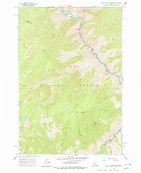
Other maps of this area

1956 · Elk City
USGS Topo · 1:250,000

1960 · Elk City
USGS Topo · 1:250,000

1962 · Square Top
USGS Topo · 1:24,000

1962 · Long Tom Mtn
USGS Topo · 1:24,000

1962 · Papoose Peak
USGS Topo · 1:24,000

1962 · Aggipah Mtn
USGS Topo · 1:24,000

1962 · Mt Mc Guire
USGS Topo · 1:24,000

1962 · Horse Creek Butte
USGS Topo · 1:24,000

1962 · Butts Creek Point
USGS Topo · 1:24,000

1977 · Cottonwood Butte
USGS Topo · 1:24,000