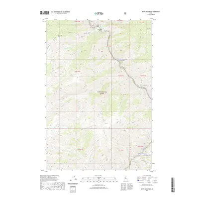
2020 Map of Butts Creek Point
USGS Topo · Published 2020About this map
The Salmon National Forest defines this mountainous stretch of central Idaho, where the Salmon Wild and Scenic River and the Middle Fork Salmon Wild and Scenic River converge. This survey shows the corridor where the Idaho County and Lemhi County line follows the high ridges. Along the river banks, named bars like Corn Creek Bar, Cunningham Bar, and Cache Bar indicate historical points of access and river activity. Significant elevation markers such as Butts Creek Point and Nolan Point tower over a complex drainage system including Wheat Creek, Proctor Creek, and Kitchen Creek. The presence of the Middle Fork Salmon River Trail and Salmon River Road highlights the primary routes through this protected wilderness, while family-named landmarks like Stoddard provide points of interest for local history and genealogy research.
Find a feature on this map
46 named features on this map. Tap any name to fly to it.
Don’t see what you’re looking for? This feature index may not catch every label — zoom into the map to look around manually.
Map Details
Editions of this 2020 Butts Creek Point Map
This is the sole edition of this map. No revisions or reprints were ever made.
Other maps of this area

1956 · Elk City
USGS Topo · 1:250,000

1960 · Elk City
USGS Topo · 1:250,000

1962 · Square Top
USGS Topo · 1:24,000

1962 · Long Tom Mtn
USGS Topo · 1:24,000

1962 · Papoose Peak
USGS Topo · 1:24,000

1962 · Aggipah Mtn
USGS Topo · 1:24,000

1962 · Mt Mc Guire
USGS Topo · 1:24,000

1962 · Horse Creek Butte
USGS Topo · 1:24,000

1962 · Butts Creek Point
USGS Topo · 1:24,000

1977 · Cottonwood Butte
USGS Topo · 1:24,000