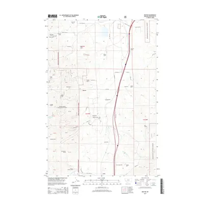
2014 Map of Buxton
USGS Topo · Published 2014About this map
Deerlodge National Forest blankets the western heights of this region, where the Continental Divide winds through the high country south of Butte. This 2014 survey documents the rugged landscape of Silver Bow County, centered on the small settlement of Buxton and the southern community of Feely. The terrain is defined by a dense network of gulches—including Price Gulch, Sheep Gulch, and Sawmill Gulch—that drain toward the Silver Bow Cr valley.
Find a feature on this map
64 named features on this map. Tap any name to fly to it.
Don’t see what you’re looking for? This feature index may not catch every label — zoom into the map to look around manually.
Map Details
Editions of this 2014 Buxton Map
This is the sole edition of this map. No revisions or reprints were ever made.
Other maps of this area

1889 · Helena
USGS Topo · 1:250,000

1893 · Helena
USGS Topo · 1:250,000

1893 · Dillon
USGS Topo · 1:250,000

1899 · Helena
USGS Topo · 1:250,000

1903 · Helena
USGS Topo · 1:250,000

1947 · Butte
USGS Topo · 1:250,000

1955 · Dillon
USGS Topo · 1:250,000

1957 · Dillon
USGS Topo · 1:250,000

1958 · Butte
USGS Topo · 1:250,000

1958 · Dillon
USGS Topo · 1:250,000