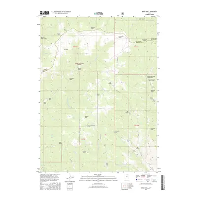
2017 Map of Bybee Knoll
USGS Topo · Published 2017About this map
Cache National Forest encompasses this high-elevation landscape along the border of Weber and Morgan counties. The terrain is defined by a dense network of drainages and named knolls, including the central Bybee Knoll and the distinctively named Hoodoo Knoll. The map reveals a history of land use through family-named landmarks like Pete Nelson Hollow, Tom Condies Flat, and Frank Hollow, suggesting a legacy of early grazing or homesteading in these remote uplands.
Find a feature on this map
59 named features on this map. Tap any name to fly to it.
Don’t see what you’re looking for? This feature index may not catch every label — zoom into the map to look around manually.
Map Details
Editions of this 2017 Bybee Knoll Map
This is the sole edition of this map. No revisions or reprints were ever made.
Other maps of this area

1954 · Ogden
USGS Topo · 1:250,000

1958 · Ogden
USGS Topo · 1:250,000

1960 · Ogden
USGS Topo · 1:250,000
1961 · Devils Slide
USGS Topo · 1:24,000
1961 · Morgan
USGS Topo · 1:24,000

1961 · Morgan
USGS Topo · 1:62,500

1964 · Lost Creek Dam
USGS Topo · 1:24,000
1964 · Browns Hole
USGS Topo · 1:24,000
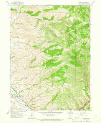
1964 · Henefer
USGS Topo · 1:24,000
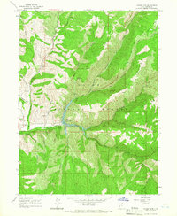
1964 · Causey Dam
USGS Topo · 1:24,000