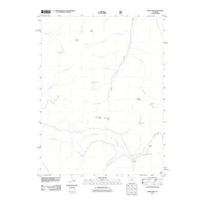
2011 Map of Byers Peak
USGS Topo · Published 2011About this map
Byers Peak and Bills Peak anchor a high-elevation landscape defined by the Continental Divide in this Grand County survey. The map details a complex hydrological network where the Williams Fork and its tributaries, including the Middle Fork Williams Fork, drain the western slopes while Saint Louis Creek and Vasquez Creek flow to the east. Evidence of industrial and engineering efforts is visible near the southern ridges, specifically the Bobtail Mine near Jones Pass. This area is further marked by the August P. Gumlick Tunnel, a significant water diversion project that underscores the importance of high-altitude runoff to the region's development. High-altitude basins contain Saint Louis Lake and McQueary Lake, providing a clear look at the headwaters that feed the Colorado River system.
Find a feature on this map
31 named features on this map. Tap any name to fly to it.
Don’t see what you’re looking for? This feature index may not catch every label — zoom into the map to look around manually.
Map Details
Editions of this 2011 Byers Peak Map
This is the sole edition of this map. No revisions or reprints were ever made.
Other maps of this area

1924 · Montezuma
USGS Topo · 1:62,500

1924 · Fraser
USGS Topo · 1:62,500

1926 · Fraser
USGS Topo · 1:62,500

1926 · Montezuma
USGS Topo · 1:62,500

1929 · Dillon
USGS Topo · 1:62,500

1933 · Montezuma
USGS Topo · 1:62,500

1933 · Ute Peak
USGS Topo · 1:62,500

1934 · Dillon
USGS Topo · 1:62,500

1937 · Ute Peak
USGS Topo · 1:62,500

1953 · Denver
USGS Topo · 1:250,000