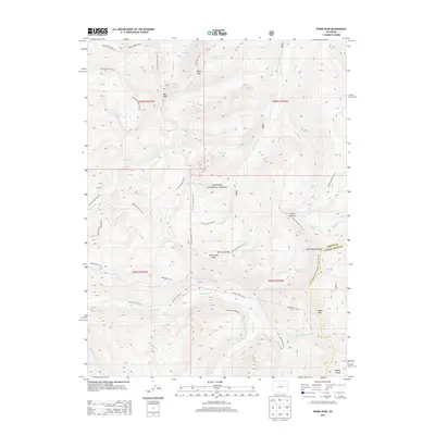
2013 Map of Byers Peak
USGS Topo · Published 2013About this map
Byers Peak and Saint Louis Peak anchor this high-elevation terrain within the Arapaho National Forest, where the complex water management systems of the Front Range are clearly visible. The landscape is defined by substantial engineering projects like the Henderson Tunl and the August P Gumlick Tunnel, which facilitate water transport across the high country. These underground structures are complemented by surface works including the Water Board Aqueduct and Steelman Aqueduct.
Find a feature on this map
48 named features on this map. Tap any name to fly to it.
Don’t see what you’re looking for? This feature index may not catch every label — zoom into the map to look around manually.
Map Details
Editions of this 2013 Byers Peak Map
This is the sole edition of this map. No revisions or reprints were ever made.
Other maps of this area

1924 · Montezuma
USGS Topo · 1:62,500

1924 · Fraser
USGS Topo · 1:62,500

1926 · Fraser
USGS Topo · 1:62,500

1926 · Montezuma
USGS Topo · 1:62,500

1929 · Dillon
USGS Topo · 1:62,500

1933 · Montezuma
USGS Topo · 1:62,500

1933 · Ute Peak
USGS Topo · 1:62,500

1934 · Dillon
USGS Topo · 1:62,500

1937 · Ute Peak
USGS Topo · 1:62,500

1953 · Denver
USGS Topo · 1:250,000