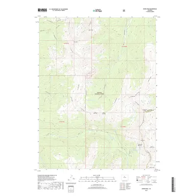
2019 Map of Byers Peak
USGS Topo · Published 2019About this map
The Continental Divide defines the spine of this high-altitude landscape within the Arapaho National Forest, where the border of Grand and Clear Creek counties follows the jagged crest. Centered on Byers Peak, the terrain is marked by a complex drainage system including Kinney Creek, Saint Louis Creek, and the Williams Fork. Significant elevation points like Bills Peak, Saint Louis Peak, and Mt Nystrom dominate the horizon, connected by the Continental Divide National Scenic Trail. Beneath the alpine surface, the August P Gumlick Tunnel represents a major piece of water-diversion engineering, cutting through the Continental Mountains to transport water from the western slope. Notable basins such as Saint Louis Lake and Vásquez Lake sit tucked below the ridges, providing a clear picture of the hydrological patterns of the Front Range before the modern century.
Find a feature on this map
49 named features on this map. Tap any name to fly to it.
Don’t see what you’re looking for? This feature index may not catch every label — zoom into the map to look around manually.
Map Details
Editions of this 2019 Byers Peak Map
This is the sole edition of this map. No revisions or reprints were ever made.
Other maps of this area

1924 · Montezuma
USGS Topo · 1:62,500

1924 · Fraser
USGS Topo · 1:62,500

1926 · Fraser
USGS Topo · 1:62,500

1926 · Montezuma
USGS Topo · 1:62,500

1929 · Dillon
USGS Topo · 1:62,500

1933 · Montezuma
USGS Topo · 1:62,500

1933 · Ute Peak
USGS Topo · 1:62,500

1934 · Dillon
USGS Topo · 1:62,500

1937 · Ute Peak
USGS Topo · 1:62,500

1953 · Denver
USGS Topo · 1:250,000