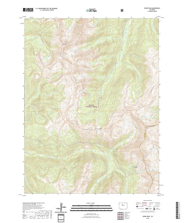
2022 Map of Byers Peak
USGS Topo · Published 2022About this map
The Continental Divide winds through the high alpine terrain of the Arapaho National Forest, marking the boundary between Grand and Clear Creek counties. This 2022 survey documents a landscape defined by significant water management and recreation infrastructure, notably the August P Gumlick Tunnel which cuts beneath the Continental Mountains to divert water between watersheds. High-altitude peaks such as Byers Peak, Bills Peak, and Mt Nystrom overlook a network of glacial basins containing Saint Louis Lake and Horseshoe Lake. The map details a complex system of established paths including the Continental Divide National Scenic Trail and the St Louis Divide Trl, which provide access to remote crossings like Saint Louis Pass and Jones Pass.
Find a feature on this map
48 named features on this map. Tap any name to fly to it.
Don’t see what you’re looking for? This feature index may not catch every label — zoom into the map to look around manually.
Map Details
Editions of this 2022 Byers Peak Map
This is the sole edition of this map. No revisions or reprints were ever made.
Other maps of this area

1924 · Montezuma
USGS Topo · 1:62,500

1924 · Fraser
USGS Topo · 1:62,500

1926 · Fraser
USGS Topo · 1:62,500

1926 · Montezuma
USGS Topo · 1:62,500

1929 · Dillon
USGS Topo · 1:62,500

1933 · Montezuma
USGS Topo · 1:62,500

1933 · Ute Peak
USGS Topo · 1:62,500

1934 · Dillon
USGS Topo · 1:62,500

1937 · Ute Peak
USGS Topo · 1:62,500

1953 · Denver
USGS Topo · 1:250,000