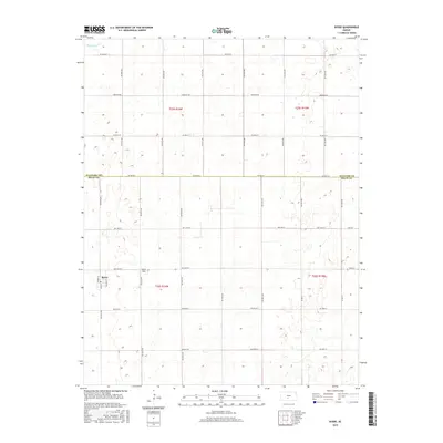
2015 Map of Byers
USGS Topo · Published 2015About this map
The small town of Byers sits at the intersection of Nation St, Main St, and Richter St, serving as a quiet agricultural hub on the High Plains. Located in the northern reaches of Pratt County, the landscape is defined by its rigorous sectional grid, with roads like Emerson Rd and SW 90th St stretching across the prairie. A notable break in this geometry occurs along the northern boundary where Rattlesnake Cr meanders through the terrain, providing a natural drainage system in an otherwise highly managed rural environment. The presence of Moore Field north of the town site highlights the importance of localized aviation for the region's farming and ranching operations. Along the Stafford Co Pratt Co line, the map illustrates the precise division between these two counties, reflecting the enduring 19th-century land survey patterns that continue to shape Kansas land use today.
Find a feature on this map
35 named features on this map. Tap any name to fly to it.
Don’t see what you’re looking for? This feature index may not catch every label — zoom into the map to look around manually.
Map Details
Editions of this 2015 Byers Map
This is the sole edition of this map. No revisions or reprints were ever made.
Other maps of this area

1892 · Pratt
USGS Topo · 1:125,000

1894 · Pratt
USGS Topo · 1:125,000

1955 · Pratt
USGS Topo · 1:250,000

1959 · Pratt
USGS Topo · 1:250,000

1968 · Pratt
USGS Topo · 1:24,000

1968 · Cullison
USGS Topo · 1:24,000

1968 · Coats NE
USGS Topo · 1:24,000
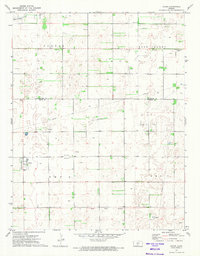
1971 · Byers
USGS Topo · 1:24,000
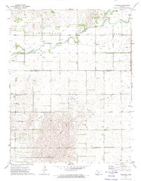
1971 · Hopewell
USGS Topo · 1:24,000
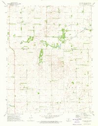
1971 · Stafford SW
USGS Topo · 1:24,000