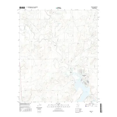
2016 Map of Byrds
USGS Topo · Published 2016About this map
Byrds sits at the heart of this North Texas landscape, where the northern reaches of Lake Brownwood meet the meandering course of the Pecan Bayou. The terrain is defined by its water management history, evidenced by Dam Number 1 and Dam Number 2 along the Red River, alongside various drainage features such as Rough Br and Bledsoe Br. A distinct residential cluster at Thunderbird Bay shows a dense network of local roads with tribal-themed names like Cheyenne Dr and Iroquois Dr, contrasting with the open ranchland to the north.
Find a feature on this map
55 named features on this map. Tap any name to fly to it.
Don’t see what you’re looking for? This feature index may not catch every label — zoom into the map to look around manually.
Map Details
Editions of this 2016 Byrds Map
This is the sole edition of this map. No revisions or reprints were ever made.
Other maps of this area

1887 · Coleman
USGS Topo · 1:125,000

1889 · Brownwood
USGS Topo · 1:125,000

1889 · Coleman
USGS Topo · 1:125,000

1894 · Eastland
USGS Topo · 1:125,000

1894 · Brownwood
USGS Topo · 1:125,000

1924 · Coleman 1-a
USGS Topo · 1:48,000

1924 · Brownwood Reservoir Site
USGS Topo · 1:48,000

1927 · Grosvenor
USGS Topo · 1:62,500

1931 · Baird
USGS Topo · 1:125,000

1932 · Baird
USGS Topo · 1:125,000