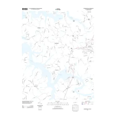
2013 Map of Byrdstown
USGS Topo · Published 2013About this map
Byrdstown serves as the focal point of this region, situated where Tennessee Highway 111 meets Highway 325 near the Kentucky border. The landscape is defined by the expansive arms of Dale Hollow Lake, which reach deep into the surrounding terrain via inlets like Cove Cr and Jolly Cr. This modern survey reveals a community deeply tied to the water, evidenced by facilities such as Star Point Dock, Eagles Cove Marina, and Sunset Dock.
Find a feature on this map
193 named features on this map. Tap any name to fly to it.
Don’t see what you’re looking for? This feature index may not catch every label — zoom into the map to look around manually.
Map Details
Editions of this 2013 Byrdstown Map
This is the sole edition of this map. No revisions or reprints were ever made.
Other maps of this area

1897 · Standingstone
USGS Topo · 1:125,000

1898 · Standingstone
USGS Topo · 1:125,000

1924 · Lillydale
USGS Topo · 1:62,500

1926 · Lillydale
USGS Topo · 1:62,500

1929 · Lillydale
USGS Topo · 1:62,500

1929 · Byrdstown
USGS Topo · 1:62,500

1944 · Livingston
USGS Topo · 1:24,000

1954 · Frogue
USGS Topo · 1:24,000

1954 · Albany
USGS Topo · 1:24,000

1954 · Savage
USGS Topo · 1:24,000