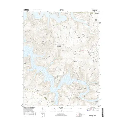
2016 Map of Byrdstown
USGS Topo · Published 2016About this map
Byrdstown serves as the central hub of this northern Tennessee landscape, where the irregular shorelines of Dale Hollow Lake dominate the terrain. The map documents a deeply rooted rural community characterized by a high density of family burial grounds and small settlements like Bloomington, Oak Hill, and Smyrna. The abundance of historic sites such as the Holt Cemeteries, Tompkins Cem, and the Anderson-Jones Cem provides significant data for genealogical research, anchoring family names to specific ridges and hollows.
Find a feature on this map
158 named features on this map. Tap any name to fly to it.
Don’t see what you’re looking for? This feature index may not catch every label — zoom into the map to look around manually.
Map Details
Editions of this 2016 Byrdstown Map
This is the sole edition of this map. No revisions or reprints were ever made.
Other maps of this area

1897 · Standingstone
USGS Topo · 1:125,000

1898 · Standingstone
USGS Topo · 1:125,000

1924 · Lillydale
USGS Topo · 1:62,500

1926 · Lillydale
USGS Topo · 1:62,500

1929 · Lillydale
USGS Topo · 1:62,500

1929 · Byrdstown
USGS Topo · 1:62,500

1944 · Livingston
USGS Topo · 1:24,000

1954 · Frogue
USGS Topo · 1:24,000

1954 · Albany
USGS Topo · 1:24,000

1954 · Savage
USGS Topo · 1:24,000