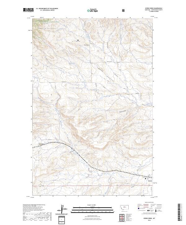
2024 Map of Byrne Creek
USGS Topo · Published 2024About this map
The Highwood Mountains rise in the northwestern corner of this landscape, with the Lewis & Clark National Forest boundary tracing the higher elevations where drainage begins for Byrne Creek and Arrow Creek. The settlement of Geyser anchors the southeast, positioned near the junction of several drainage systems including Crow Coulee and Old Geyser Creek. This modern survey documents a rural landscape defined by deep coulees and named peaks that have served as navigational landmarks for generations.
Find a feature on this map
38 named features on this map. Tap any name to fly to it.
Don’t see what you’re looking for? This feature index may not catch every label — zoom into the map to look around manually.
Map Details
Editions of this 2024 Byrne Creek Map
This is the sole edition of this map. No revisions or reprints were ever made.
Other maps of this area

1890 · Fort Benton
USGS Topo · 1:250,000

1892 · Fort Benton
USGS Topo · 1:250,000

1897 · Fort Benton
USGS Topo · 1:250,000

1954 · Great Falls
USGS Topo · 1:250,000

1957 · Great Falls
USGS Topo · 1:250,000
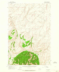
1961 · The Arch
USGS Topo · 1:24,000
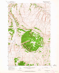
1961 · Limestone Butte
USGS Topo · 1:24,000

1961 · Barker
USGS Topo · 1:62,500

1978 · Arrow Peak
USGS Topo · 1:24,000
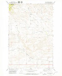
1978 · Byrne Creek
USGS Topo · 1:24,000