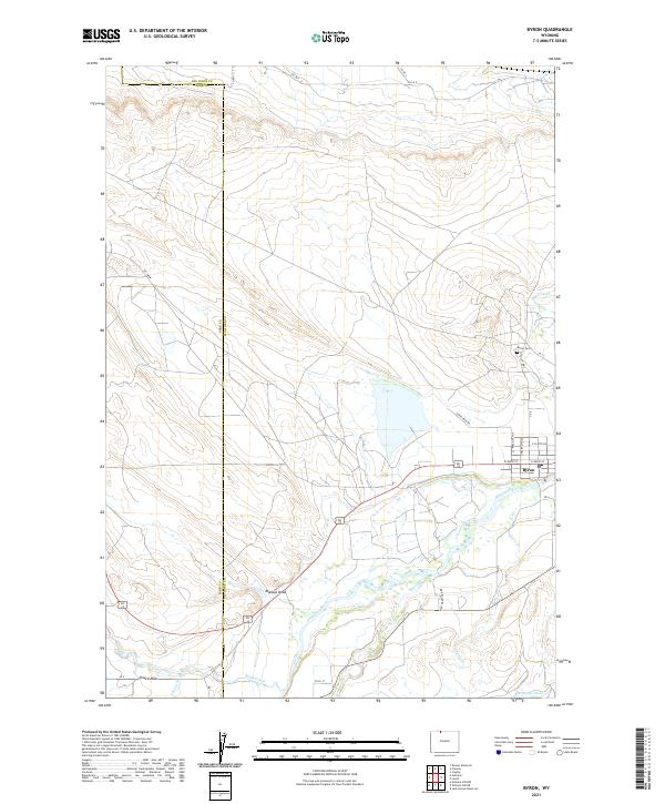
2021 Map of Byron
USGS Topo · Published 2021About this map
The Shoshone River valley defines this part of the Big Horn Basin, where irrigation infrastructure supports a landscape of agricultural activity and dispersed settlement. The town of Byron serves as a local hub, situated near the Byron Cem and the Sidon Canal. This canal, along with the Elk Lovell Canal further south, represents the region’s long-standing reliance on water management to transform high-desert terrain into productive land. To the west, the community of Powell Flats sits near the winding course of Bitter Creek. The map documents a complex network of drainage and creek systems, including Coon Cr, Whistle Cr, and the prominent Mantua Draw, illustrating how the natural topography dictates the placement of roads like Alt 14 and Cloud Peak Rd.
Find a feature on this map
38 named features on this map. Tap any name to fly to it.
Don’t see what you’re looking for? This feature index may not catch every label — zoom into the map to look around manually.
Map Details
Editions of this 2021 Byron Map
This is the sole edition of this map. No revisions or reprints were ever made.
Other maps of this area

1955 · Cody
USGS Topo · 1:250,000

1958 · Cody
USGS Topo · 1:250,000

1962 · Cody
USGS Topo · 1:250,000

1966 · Gilmore Hill NE
USGS Topo · 1:24,000

1966 · Frannie
USGS Topo · 1:24,000

1966 · Garland
USGS Topo · 1:24,000

1966 · Cowley
USGS Topo · 1:24,000

1966 · Deaver Reservoir
USGS Topo · 1:24,000

1966 · Jack Horner Reservoir
USGS Topo · 1:24,000

1966 · Gilmore Hill NW
USGS Topo · 1:24,000