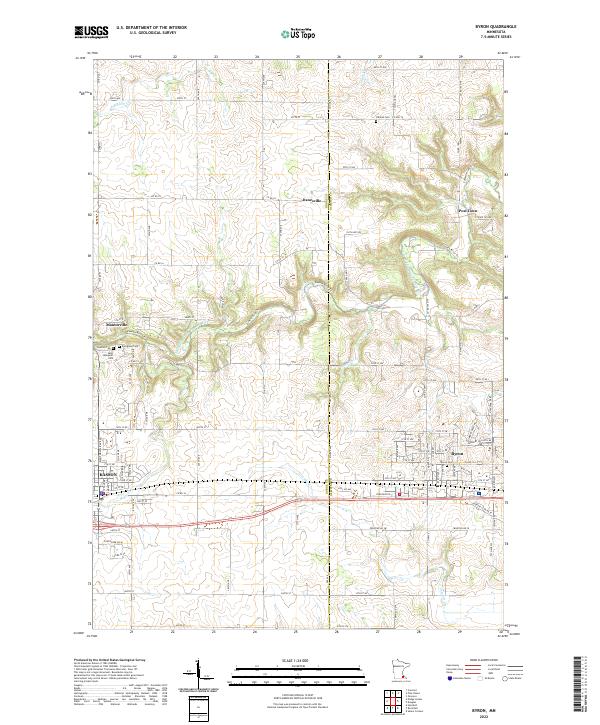
2022 Map of Byron
USGS Topo · Published 2022About this map
The Dodge County and Olmsted County line bisects this landscape of precision-gridded section lines and winding river valleys. Modern Byron serves as a primary hub alongside the neighboring community of Kasson, with smaller settlements like Post Town and Danesville marking the intersections of the rural road network. The drainage patterns of the S Br Middle Fork Zumbro River and its various tributaries, including Harkcom Cr, Plum Cr, and Tompkins Cr, dictate the local topography and the placement of older landmarks. For those looking into local lineage, several burial grounds are preserved across the townships, including Byron Cem, Othello Cem, and Evergreen Cem, alongside Saint Margaret Cem near the historic seat of Mantorville. The presence of the Zumbro River Trl reflects the contemporary recreational use of the river corridors that once defined early transit in this part of Minnesota.
Find a feature on this map
101 named features on this map. Tap any name to fly to it.
Don’t see what you’re looking for? This feature index may not catch every label — zoom into the map to look around manually.
Map Details
Editions of this 2022 Byron Map
This is the sole edition of this map. No revisions or reprints were ever made.
Other maps of this area

1953 · Saint Paul
USGS Topo · 1:250,000

1954 · Mason City
USGS Topo · 1:250,000

1955 · High Forest
USGS Topo · 1:62,500

1957 · Mason City
USGS Topo · 1:250,000

1958 · Mason City
USGS Topo · 1:250,000

1959 · Saint Paul
USGS Topo · 1:250,000

1965 · Dodge Center
USGS Topo · 1:24,000

1965 · Concord
USGS Topo · 1:24,000

1965 · Oronoco
USGS Topo · 1:24,000

1965 · Byron
USGS Topo · 1:24,000