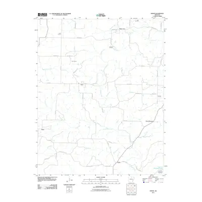
2011 Map of Byron
USGS Topo · Published 2011About this map
The Strawberry River carves a winding path through this portion of Izard County, anchoring a landscape defined by small rural settlements and family burial grounds. Central to the area is Byron, situated at the crossroads of Byron RD and Greasy Creek RD, serving as a primary point of reference for the surrounding countryside. This 2011 survey documents the enduring presence of local landmarks like Liberty Cemetery and Talley Cemetery, which provide essential touchstones for researchers tracing family history in this corner of the Ozarks.
Find a feature on this map
52 named features on this map. Tap any name to fly to it.
Don’t see what you’re looking for? This feature index may not catch every label — zoom into the map to look around manually.
Map Details
Editions of this 2011 Byron Map
This is the sole edition of this map. No revisions or reprints were ever made.
Other maps of this area

1890 · Mountain Home
USGS Topo · 1:125,000

1891 · Mountain Home
USGS Topo · 1:125,000

1894 · Mountain Home
USGS Topo · 1:125,000

1945 · Harrison
USGS Topo · 1:250,000

1949 · Harrison
USGS Topo · 1:250,000

1950 · Salem
USGS Topo · 1:62,500

1951 · Salem
USGS Topo · 1:62,500

1951 · Melbourne
USGS Topo · 1:62,500

1954 · Harrison
USGS Topo · 1:250,000

1957 · Poplar Bluff
USGS Topo · 1:250,000