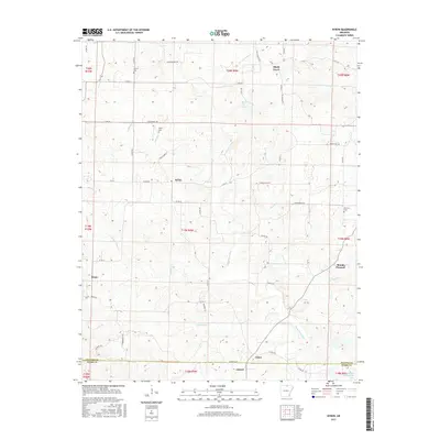
2017 Map of Byron
USGS Topo · Published 2017About this map
Oxford and Byron anchor the central hills of Fulton and Izard counties, where the high Ozark plateau begins its descent toward the White River basin. The Strawberry River winds across the north-central terrain, joined by numerous drainage systems including N Brushy Cr and Greasy Cr. This landscape reflects a long-standing agricultural and rural residential pattern, with small crossroads like Bexar, Union, and Shady Grove serving as local focal points between the larger townships. For those researching family heritage, the map identifies several local burial sites, including Liberty Cem, Talley Cem, and Harmony Cem. To the southeast, the terrain reaches toward the Spiritual Development Lake, while the network of roads—from Byron Rd to the more modern Co Rd 16—illustrates how transportation corridors have adapted to the area's many valleys and ridges.
Find a feature on this map
61 named features on this map. Tap any name to fly to it.
Don’t see what you’re looking for? This feature index may not catch every label — zoom into the map to look around manually.
Map Details
Editions of this 2017 Byron Map
This is the sole edition of this map. No revisions or reprints were ever made.
Other maps of this area

1890 · Mountain Home
USGS Topo · 1:125,000

1891 · Mountain Home
USGS Topo · 1:125,000

1894 · Mountain Home
USGS Topo · 1:125,000

1945 · Harrison
USGS Topo · 1:250,000

1949 · Harrison
USGS Topo · 1:250,000

1950 · Salem
USGS Topo · 1:62,500

1951 · Salem
USGS Topo · 1:62,500

1951 · Melbourne
USGS Topo · 1:62,500

1954 · Harrison
USGS Topo · 1:250,000

1957 · Poplar Bluff
USGS Topo · 1:250,000