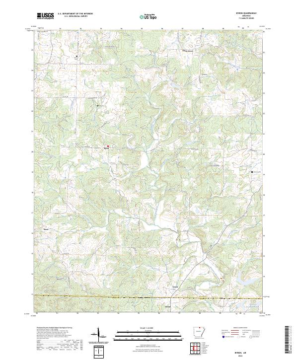
2024 Map of Byron
USGS Topo · Published 2024About this map
Byron and Bexar anchor this rural landscape in the Ozark foothills, where a network of county roads follows the winding drainage patterns of the Strawberry River. The area is characterized by a high concentration of small, family-named landmarks and rural burial grounds, including Liberty Cem, Talley Cem, and Harmony Cem, which serve as vital touchpoints for local genealogy.
Find a feature on this map
62 named features on this map. Tap any name to fly to it.
Don’t see what you’re looking for? This feature index may not catch every label — zoom into the map to look around manually.
Map Details
Editions of this 2024 Byron Map
This is the sole edition of this map. No revisions or reprints were ever made.
Other maps of this area

1890 · Mountain Home
USGS Topo · 1:125,000

1891 · Mountain Home
USGS Topo · 1:125,000

1894 · Mountain Home
USGS Topo · 1:125,000

1945 · Harrison
USGS Topo · 1:250,000

1949 · Harrison
USGS Topo · 1:250,000

1950 · Salem
USGS Topo · 1:62,500

1951 · Salem
USGS Topo · 1:62,500

1951 · Melbourne
USGS Topo · 1:62,500

1954 · Harrison
USGS Topo · 1:250,000

1957 · Poplar Bluff
USGS Topo · 1:250,000