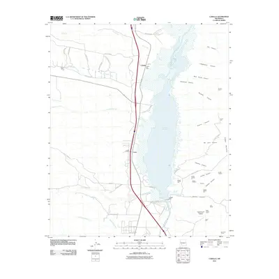
2010 Map of Caballo
USGS Topo · Published 2010About this map
The Caballo Reservoir dominates the center of this 2010 landscape, a massive water body formed by the Caballo Dam on the Rio Grande. To the east, the Caballo Mountains rise sharply, their slopes scarred by a long history of mineral extraction. Mining activity is particularly concentrated in the southern reaches, where researchers can identify the Lyda K Mine, Black Beauty, and various operations associated with Caballo Mountain Mining and Leaching. The small community of Pittsburg and several extensive dredge tailings areas further underscore the industrial legacy of the canyons.
Find a feature on this map
60 named features on this map. Tap any name to fly to it.
Don’t see what you’re looking for? This feature index may not catch every label — zoom into the map to look around manually.
Map Details
Editions of this 2010 Caballo Map
This is the sole edition of this map. No revisions or reprints were ever made.
Other maps of this area

1954 · Tularosa
USGS Topo · 1:250,000

1955 · Las Cruces
USGS Topo · 1:250,000

1958 · Las Cruces
USGS Topo · 1:250,000

1958 · Tularosa
USGS Topo · 1:250,000

1959 · Engle
USGS Topo · 1:62,500

1959 · Upham
USGS Topo · 1:62,500

1961 · Skute Stone Arroyo
USGS Topo · 1:24,000

1961 · Saladone Tank
USGS Topo · 1:24,000

1961 · Caballo
USGS Topo · 1:24,000

1961 · Clark Spring Canyon
USGS Topo · 1:24,000