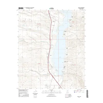
2017 Map of Caballo
USGS Topo · Published 2017About this map
Caballo Reservoir dominates this landscape, where the waters of the Rio Grande are held against the western slopes of the Caballo Mountains. The small settlements of Caballo and Oasis sit west of the water, connected by a network of rural routes including Carriage Dr and Palomino Rd. This area reflects a desert economy shaped by water management and transit, with the Caballo Cem serving the local community and numerous arroyos like Greyback Arroyo and Nordstrom Arroyo draining the high ground to the west.
Find a feature on this map
62 named features on this map. Tap any name to fly to it.
Don’t see what you’re looking for? This feature index may not catch every label — zoom into the map to look around manually.
Map Details
Editions of this 2017 Caballo Map
This is the sole edition of this map. No revisions or reprints were ever made.
Other maps of this area

1954 · Tularosa
USGS Topo · 1:250,000

1955 · Las Cruces
USGS Topo · 1:250,000

1958 · Las Cruces
USGS Topo · 1:250,000

1958 · Tularosa
USGS Topo · 1:250,000

1959 · Engle
USGS Topo · 1:62,500

1959 · Upham
USGS Topo · 1:62,500

1961 · Skute Stone Arroyo
USGS Topo · 1:24,000

1961 · Saladone Tank
USGS Topo · 1:24,000

1961 · Caballo
USGS Topo · 1:24,000

1961 · Clark Spring Canyon
USGS Topo · 1:24,000