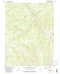
1980 Map of Cabin Creek
USGS Topo · Published 1985About this map
Arapaho National Forest dominates this high-country landscape in Grand County, where a complex network of drainages shapes the topography. The intersection of Willow Creek and Hall Creek creates a primary valley floor, fed by numerous tributaries including Adams Creek and Gold Run to the east. The drainage pattern here illustrates the era’s land management, with many features such as Sawmill Gulch and Kinney Creek serving as landmarks for forest navigation and resource monitoring.
Find a feature on this map
16 named features on this map. Tap any name to fly to it.
Don’t see what you’re looking for? This feature index may not catch every label — zoom into the map to look around manually.
Map Details
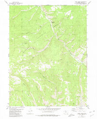
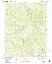
Editions of this 1980 Cabin Creek Map
3 editions found
Other maps of this area

1915 · Longs Peak
USGS Topo · 1:125,000

1919 · Rocky Mountain National Park
USGS Topo · 1:125,000

1954 · Greeley
USGS Topo · 1:250,000

1954 · Craig
USGS Topo · 1:250,000

1956 · Radial Mountain
USGS Topo · 1:24,000

1956 · Parkview Mountain
USGS Topo · 1:24,000

1956 · Rand
USGS Topo · 1:62,500

1957 · Craig
USGS Topo · 1:250,000

1957 · Greeley
USGS Topo · 1:250,000

1957 · Bowen Mountain
USGS Topo · 1:24,000