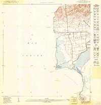
1949 Map of Cabo Rojo NO
USGS Topo · Published 1949About this map
Coastal salt production and maritime navigation define this corner of Puerto Rico in the late 1940s. The landscape is dominated by the extensive salt flats along the southwestern tip of the island, including Salinas Corozo, Salinas Candelaria, and Salinas Fraternidad. These features, alongside the Bahía Salinas shoreline, reveal a traditional industrial layout focused on salt harvesting and coastal resources before modern development reshaped the region.
Find a feature on this map
17 named features on this map. Tap any name to fly to it.
Don’t see what you’re looking for? This feature index may not catch every label — zoom into the map to look around manually.
Map Details
Editions of this 1949 Cabo Rojo NO Map
This is the sole edition of this map. No revisions or reprints were ever made.
Other maps of this area

1935 · Puerto Real
USGS Topo · 1:25,000

1937 · Puerto Real
USGS Topo · 1:25,000

1938 · Cabo Rojo
USGS Topo · 1:30,000

1941 · Puerto Real
USGS Topo · 1:30,000
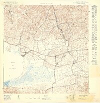
1949 · Puerto Real SE
USGS Topo · 1:10,000
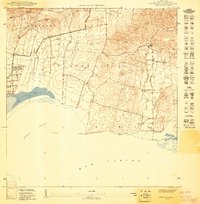
1949 · Cabo Rojo NE
USGS Topo · 1:10,000
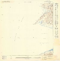
1949 · Puerto Real SO
USGS Topo · 1:10,000
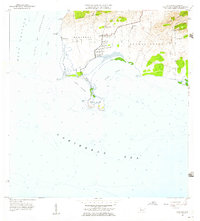
1957 · Cabo Rojo
USGS Topo · 1:20,000
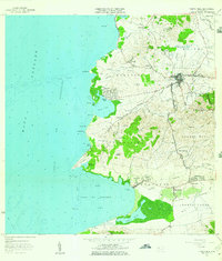
1957 · Puerto Real
USGS Topo · 1:20,000
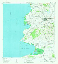
1966 · Puerto Real
USGS Topo · 1:20,000