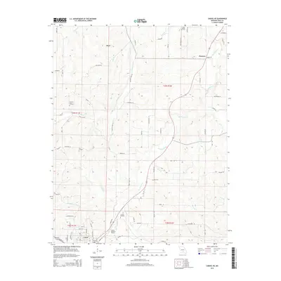
2015 Map of Cabool NE
USGS Topo · Published 2015About this map
The Big Piney River winds through the hills of Texas County, Missouri, anchoring a landscape defined by small rural settlements and scattered farmsteads. Near the northern edge, the community of Simmons sits along the river's upper reaches, while the village of Hurst occupies the uplands to the west. This territory is characterized by a dense network of creek valleys, including Hamilton Cr and Bear Cr, which historically dictated the placement of early roads like Bado Rd and Hamilton Creek Rd.
Find a feature on this map
73 named features on this map. Tap any name to fly to it.
Don’t see what you’re looking for? This feature index may not catch every label — zoom into the map to look around manually.
Map Details
Editions of this 2015 Cabool NE Map
This is the sole edition of this map. No revisions or reprints were ever made.
Other maps of this area

1941 · Bado
USGS Topo · 1:62,500

1943 · Bado
USGS Topo · 1:62,500

1945 · Clear Springs
USGS Topo · 1:62,500

1948 · Clear Springs
USGS Topo · 1:62,500

1949 · Rolla
USGS Topo · 1:250,000

1950 · Cabool SW
USGS Topo · 1:24,000

1951 · Cabool SE
USGS Topo · 1:24,000

1951 · Houston
USGS Topo · 1:24,000

1951 · Cabool NW
USGS Topo · 1:24,000

1951 · Cabool NE
USGS Topo · 1:24,000