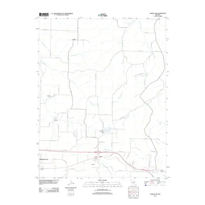
2011 Map of Cabool NW
USGS Topo · Published 2011About this map
Mountain Grove occupies the southwestern corner of this Ozark landscape, where the terrain begins to slope toward the headwaters of several significant regional waterways. The transition from the rural outskirts of the town toward the north and east is marked by a network of established county roads like Red Spring Rd and Gravel Point Rd, which connect small communities and family-named landmarks. The geography is defined by its drainages, notably the Big Piney River and Little Piney River, along with Van Zant Creek and Beaver Creek.
Find a feature on this map
57 named features on this map. Tap any name to fly to it.
Don’t see what you’re looking for? This feature index may not catch every label — zoom into the map to look around manually.
Map Details
Editions of this 2011 Cabool NW Map
This is the sole edition of this map. No revisions or reprints were ever made.
Other maps of this area

1931 · Manes
USGS Topo · 1:48,000

1941 · Manes
USGS Topo · 1:62,500

1941 · Bado
USGS Topo · 1:62,500

1943 · Manes
USGS Topo · 1:62,500

1943 · Bado
USGS Topo · 1:62,500

1950 · Cabool SW
USGS Topo · 1:24,000

1951 · Mountain Grove South
USGS Topo · 1:24,000

1951 · Cabool SE
USGS Topo · 1:24,000

1951 · Mountain Grove North
USGS Topo · 1:24,000

1951 · Cabool NW
USGS Topo · 1:24,000