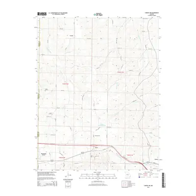
2015 Map of Cabool NW
USGS Topo · Published 2015About this map
Dunn and Lead Hill sit along the southern transit corridor of this 2015 survey, where the modern path of Route 60 links the larger settlements of Mountain Grove and Cabool. The landscape is defined by the headwaters of several significant Missouri drainage systems, including the Little Piney River and Big Piney River, which carve subtle valleys across the plateau. Central to this area is the Austin Community Lake, a managed water body situated just north of the Dunn settlement.
Find a feature on this map
64 named features on this map. Tap any name to fly to it.
Don’t see what you’re looking for? This feature index may not catch every label — zoom into the map to look around manually.
Map Details
Editions of this 2015 Cabool NW Map
This is the sole edition of this map. No revisions or reprints were ever made.
Other maps of this area

1931 · Manes
USGS Topo · 1:48,000

1941 · Manes
USGS Topo · 1:62,500

1941 · Bado
USGS Topo · 1:62,500

1943 · Manes
USGS Topo · 1:62,500

1943 · Bado
USGS Topo · 1:62,500

1950 · Cabool SW
USGS Topo · 1:24,000

1951 · Mountain Grove South
USGS Topo · 1:24,000

1951 · Cabool SE
USGS Topo · 1:24,000

1951 · Mountain Grove North
USGS Topo · 1:24,000

1951 · Cabool NW
USGS Topo · 1:24,000