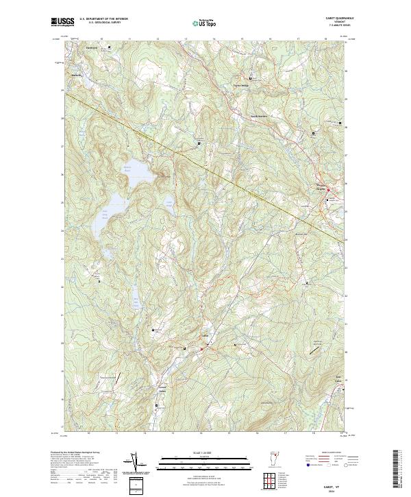
2024 Map of Cabot
USGS Topo · Published 2024About this map
The Winooski River flows through the heart of the township, defining the early development patterns of Cabot and Lower Cabot. This high-altitude Vermont terrain is marked by a dense concentration of historical burial grounds, including the Cabot Village Cem, Durant Cem, and West Hill Cem, which serve as vital touchstones for family historians and genealogists. The map illustrates a rural landscape where upland dairy farming and woodlots are bisected by ancient thoroughfares like the Bayley-Hazen Rd. Notable landmarks such as Nichols Ledge and Burbank Hill provide a clear view of the rugged topography that once supported numerous hill farms. Water features like Nichols Pond and East Long Pond dominate the northern and western sections, reflecting the glacial history that shaped the region’s hydrology and early settlement boundaries.
Find a feature on this map
107 named features on this map. Tap any name to fly to it.
Don’t see what you’re looking for? This feature index may not catch every label — zoom into the map to look around manually.
Map Details
Editions of this 2024 Cabot Map
This is the sole edition of this map. No revisions or reprints were ever made.
Other maps of this area

1928 · Hardwick
USGS Topo · 1:62,500

1934 · Hardwick
USGS Topo · 1:48,000

1935 · Lyndonville
USGS Topo · 1:48,000

1938 · Hardwick
USGS Topo · 1:62,500

1938 · St. Johnsbury
USGS Topo · 1:48,000

1939 · Lyndonville
USGS Topo · 1:62,500

1939 · Plainfield
USGS Topo · 1:48,000

1940 · Plainfield
USGS Topo · 1:62,500

1943 · Plainfield
USGS Topo · 1:62,500

1943 · St. Johnsbury
USGS Topo · 1:62,500