
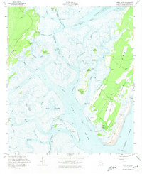
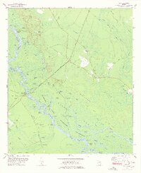
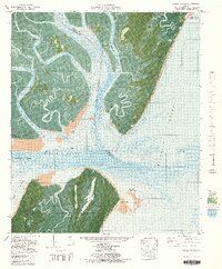
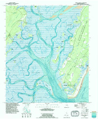
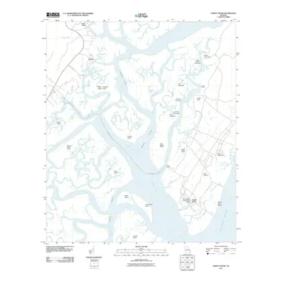
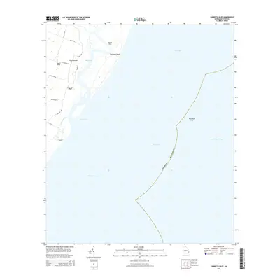
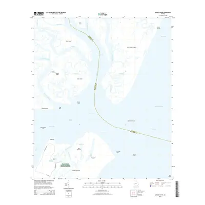
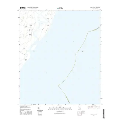
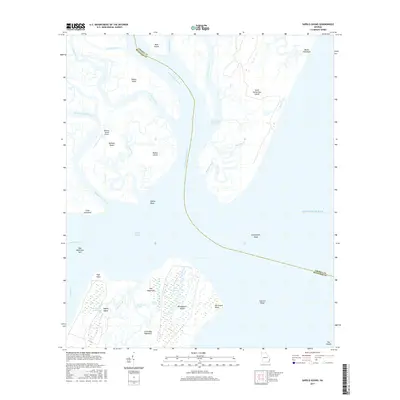
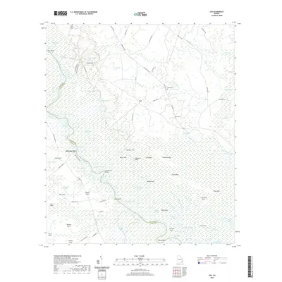
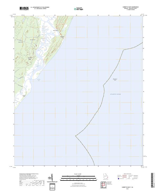
1954 Map of Cabretta Inlet
USGS Topo · Published 1959About this map
Sapelo Island and Blackbeard Island dominate this coastal survey, revealing the intricate marshlands and barrier island geography of the Georgia coast during the mid-1950s. The northern portion of Sapelo features the settlement of Raccoon Bluff, while a significant portion of the neighboring island is dedicated to the Blackbeard Island National Wildlife Refuge. The landscape is defined by the shifting tidal environment, where Blackbeard Creek separates the two primary islands, and Cabretta Inlet provides a vital passage between Cabretta Island and the sea. Nautical data including soundings and the expansive Blackbeard Shoal indicate the maritime importance of the area. Notable landmarks like Nelsons Bluff and a specifically marked Artesian Well offer specific points of interest for those studying the historical topography and land use of these barrier islands.
Find a feature on this map
13 named features on this map. Tap any name to fly to it.
Don’t see what you’re looking for? This feature index may not catch every label — zoom into the map to look around manually.
Map Details
Editions of this 1954 Cabretta Inlet Map
This is the sole edition of this map. No revisions or reprints were ever made.
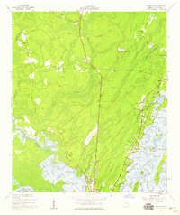
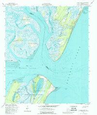
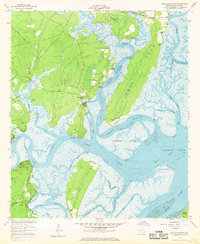
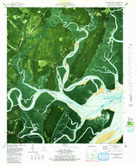
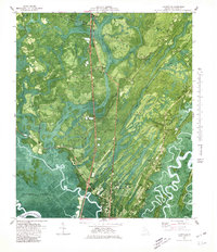
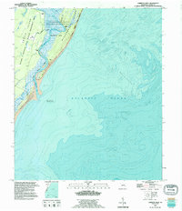
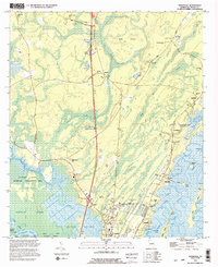
Historical Maps of Raccoon Bluff Through Time
55 maps found

1920 Cabretta Island
McIntosh County, GA

1920 Sapelo River
McIntosh County, GA

1943 Sapelo River
McIntosh County, GA

1944 Cabretta Island
McIntosh County, GA

1945 Sapelo River
McIntosh County, GA
1954 Cabretta Inlet
McIntosh County, GA
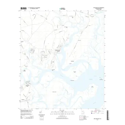
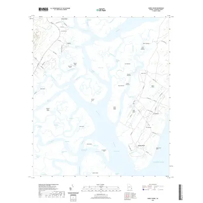
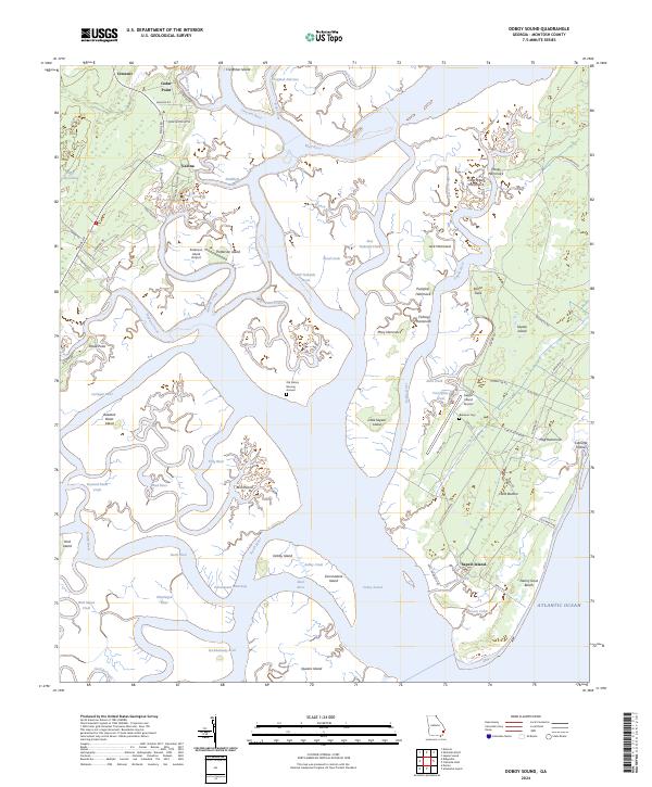
1954 Doboy Sound
McIntosh County, GA
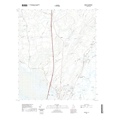
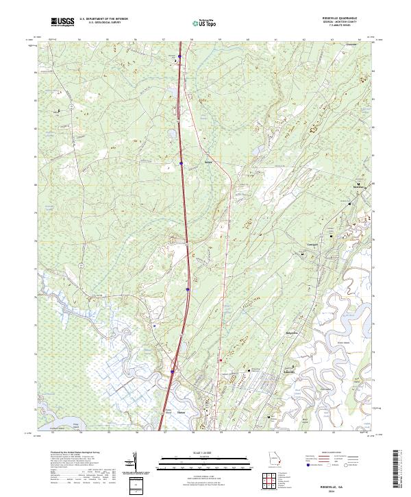
1954 Ridgeville
McIntosh County, GA
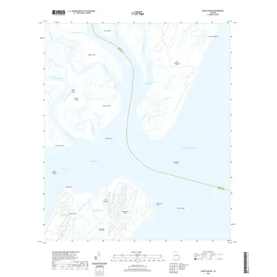
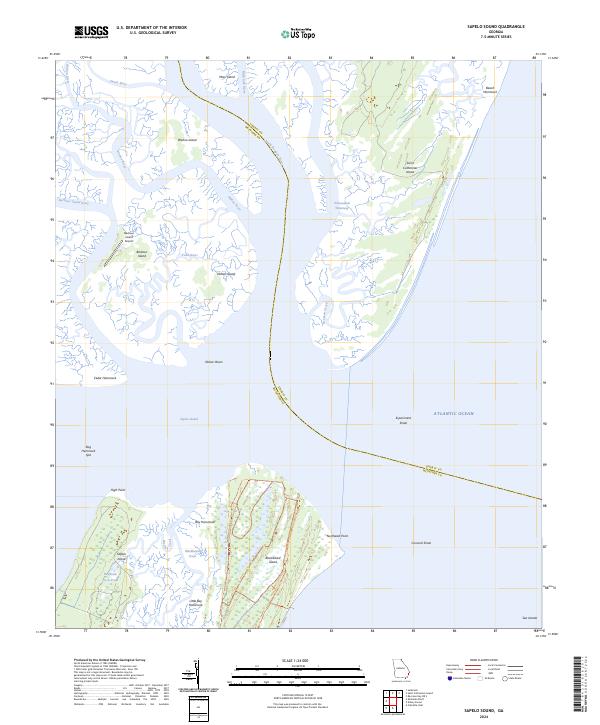
1954 Sapelo Sound
McIntosh County, GA
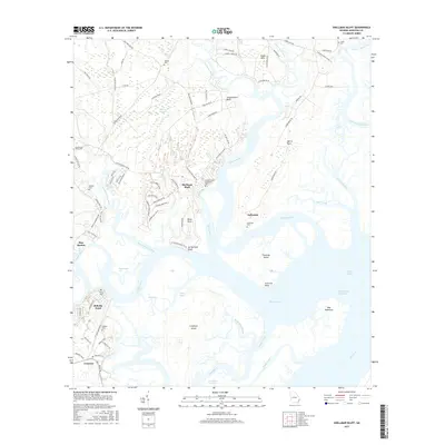
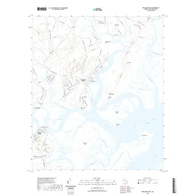
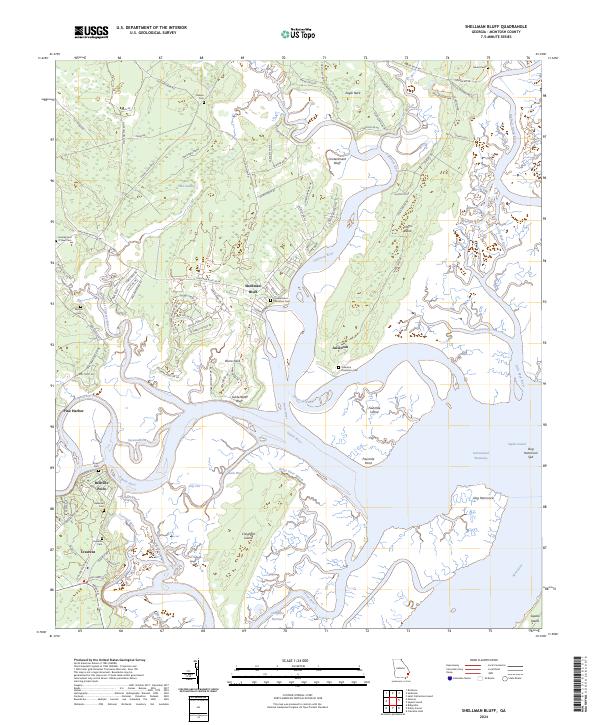
1954 Shellman Bluff
McIntosh County, GA
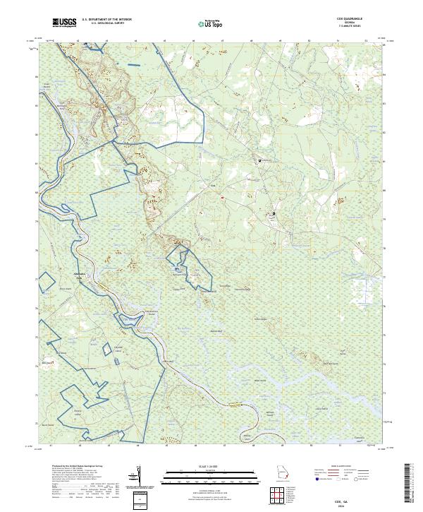
1978 Cox
McIntosh County, GA
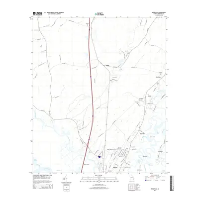
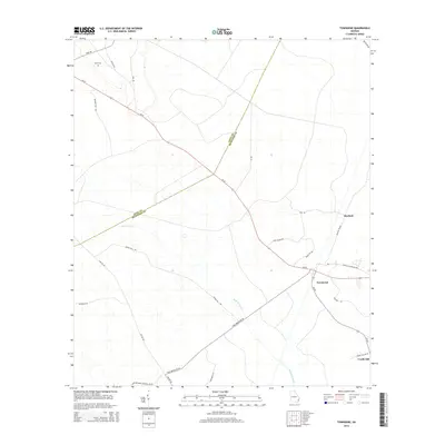
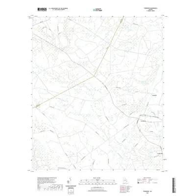
1978 Townsend
McIntosh County, GA
1979 Cabretta Inlet
McIntosh County, GA
1979 Doboy Sound
McIntosh County, GA
1979 Sapelo Sound
McIntosh County, GA
1979 Shellman Bluff
McIntosh County, GA
1980 Ridgeville
McIntosh County, GA
1993 Cabretta Inlet
McIntosh County, GA
1993 Doboy Sound
McIntosh County, GA
1993 Ridgeville
McIntosh County, GA
2011 Cabretta Inlet
McIntosh County, GA
2011 Cox
McIntosh County, GA
2011 Doboy Sound
McIntosh County, GA
2011 Ridgeville
McIntosh County, GA
2011 Sapelo Sound
McIntosh County, GA
2011 Shellman Bluff
McIntosh County, GA
2011 Townsend
McIntosh County, GA
2014 Cabretta Inlet
McIntosh County, GA
2014 Cox
McIntosh County, GA
2014 Doboy Sound
McIntosh County, GA
2014 Ridgeville
McIntosh County, GA
2014 Sapelo Sound
McIntosh County, GA
2014 Shellman Bluff
McIntosh County, GA
2014 Townsend
McIntosh County, GA
2017 Cabretta Inlet
McIntosh County, GA
2017 Cox
McIntosh County, GA
2017 Doboy Sound
McIntosh County, GA
2017 Ridgeville
McIntosh County, GA
2017 Sapelo Sound
McIntosh County, GA
2017 Shellman Bluff
McIntosh County, GA
2017 Townsend
McIntosh County, GA
2020 Cabretta Inlet
McIntosh County, GA
2020 Cox
McIntosh County, GA
2020 Doboy Sound
McIntosh County, GA
2020 Ridgeville
McIntosh County, GA
2020 Sapelo Sound
McIntosh County, GA
2020 Shellman Bluff
McIntosh County, GA
2020 Townsend
McIntosh County, GA
2024 Cabretta Inlet
McIntosh County, GA
2024 Cox
McIntosh County, GA
2024 Doboy Sound
McIntosh County, GA
2024 Ridgeville
McIntosh County, GA
2024 Sapelo Sound
McIntosh County, GA
2024 Shellman Bluff
McIntosh County, GA
2024 Townsend
McIntosh County, GA