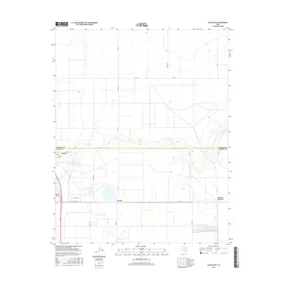
2016 Map of Cactus East
USGS Topo · Published 2016About this map
Cactus and Etter anchor this High Plains landscape, where industrial and agricultural patterns intersect at the boundary of Sherman and Moore counties. The map captures a transition in water management and transport, from the natural drainage of N Palo Duro Cr to artificial reservoirs like E M Gossett Lake and Petty Lake. Transport networks are prominently defined by the straight-line geography of FM 281, Texas St, and Nitrate Rd, reflecting the regional reliance on haulage and access to smaller junctions such as Bryden and Sheerin Junction. This survey documents the area's development through a mix of residential street grids in Cactus and the expansive, road-bounded tracts that define the surrounding panhandle plains.
Find a feature on this map
25 named features on this map. Tap any name to fly to it.
Don’t see what you’re looking for? This feature index may not catch every label — zoom into the map to look around manually.
Map Details
Editions of this 2016 Cactus East Map
This is the sole edition of this map. No revisions or reprints were ever made.
Other maps of this area

1954 · Tucumcari
USGS Topo · 1:250,000

1954 · Perryton
USGS Topo · 1:250,000

1954 · Amarillo
USGS Topo · 1:250,000

1954 · Dalhart
USGS Topo · 1:250,000

1958 · Perryton
USGS Topo · 1:250,000

1958 · Amarillo
USGS Topo · 1:250,000

1958 · Tucumcari
USGS Topo · 1:250,000

1958 · Dalhart
USGS Topo · 1:250,000

1962 · Dalhart
USGS Topo · 1:250,000

1963 · Cactus East
USGS Topo · 1:24,000