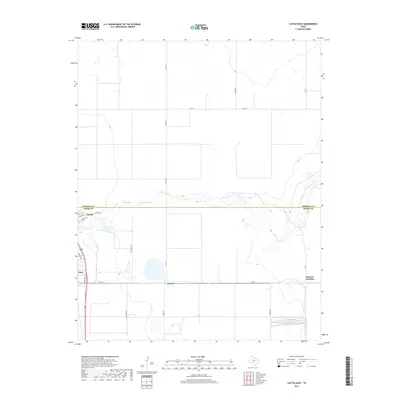
2019 Map of Cactus East
USGS Topo · Published 2019About this map
Cactus and the industrial corridors of the Texas Panhandle define this modern landscape at the Sherman and Moore County line. The map highlights a region shaped by agricultural and industrial infrastructure, with the southern portion featuring the crossroads of Etter and the small siding at Bryden. The presence of Nitrate Rd and Research Rd points toward the specialized industrial nature of this area near Cactus. To the north, the terrain is marked by the winding course of N Palo Duro Cr, which meanders eastward through the high plains. Small water bodies like Petty Lake dot the prairie, while a grid of rural routes such as Co Rd 13 and FM 281 connect the dispersed settlements and agricultural operations, including Sheerin Junction at the eastern edge.
Find a feature on this map
23 named features on this map. Tap any name to fly to it.
Don’t see what you’re looking for? This feature index may not catch every label — zoom into the map to look around manually.
Map Details
Editions of this 2019 Cactus East Map
This is the sole edition of this map. No revisions or reprints were ever made.
Other maps of this area

1954 · Tucumcari
USGS Topo · 1:250,000

1954 · Perryton
USGS Topo · 1:250,000

1954 · Amarillo
USGS Topo · 1:250,000

1954 · Dalhart
USGS Topo · 1:250,000

1958 · Perryton
USGS Topo · 1:250,000

1958 · Amarillo
USGS Topo · 1:250,000

1958 · Tucumcari
USGS Topo · 1:250,000

1958 · Dalhart
USGS Topo · 1:250,000

1962 · Dalhart
USGS Topo · 1:250,000

1963 · Cactus East
USGS Topo · 1:24,000