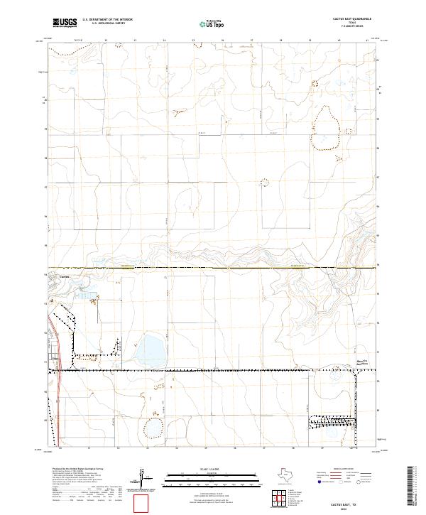
2022 Map of Cactus East
USGS Topo · Published 2022About this map
Cactus and Etter anchor this portion of the Texas Panhandle, positioned along the border where Sherman Co and Moore Co meet. The landscape is characterized by its agricultural and industrial layout, visible in the straight grid of rural roads like Hudson Rd and Nitrate Rd. A significant topographical break occurs at the N Palo Duro Cr, which cuts across the central part of the map near Petty Lake. The concentration of infrastructure around Sheerin Junction and Bryden suggests a focal point for regional transportation and logistics, with FM 281 serving as a primary east-west corridor connecting these small settlements to the broader High Plains network.
Find a feature on this map
22 named features on this map. Tap any name to fly to it.
Don’t see what you’re looking for? This feature index may not catch every label — zoom into the map to look around manually.
Map Details
Editions of this 2022 Cactus East Map
This is the sole edition of this map. No revisions or reprints were ever made.
Other maps of this area

1954 · Tucumcari
USGS Topo · 1:250,000

1954 · Perryton
USGS Topo · 1:250,000

1954 · Amarillo
USGS Topo · 1:250,000

1954 · Dalhart
USGS Topo · 1:250,000

1958 · Perryton
USGS Topo · 1:250,000

1958 · Amarillo
USGS Topo · 1:250,000

1958 · Tucumcari
USGS Topo · 1:250,000

1958 · Dalhart
USGS Topo · 1:250,000

1962 · Dalhart
USGS Topo · 1:250,000

1963 · Cactus East
USGS Topo · 1:24,000