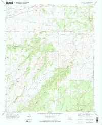
1970 Map of Cactus Flat
USGS Topo · Published 1973About this map
Sitgreaves National Forest dominates the southern landscape of this 1970s survey, where the high desert terrain of Cactus Flat is marked by a complex network of ephemeral drainages and ranching infrastructure. The map reveals an arid economy dependent on water management, evidenced by numerous named wells and catchments such as Thomas Windmill, Linden Windmill, and the Pumping Station Well.
Find a feature on this map
31 named features on this map. Tap any name to fly to it.
Don’t see what you’re looking for? This feature index may not catch every label — zoom into the map to look around manually.
Map Details
Editions of this 1970 Cactus Flat Map
2 editions found
Other maps of this area

1886 · Holbrook
USGS Topo · 1:250,000

1893 · Holbrook
USGS Topo · 1:250,000

1954 · Holbrook
USGS Topo · 1:250,000

1957 · Holbrook
USGS Topo · 1:250,000

1958 · Holbrook
USGS Topo · 1:250,000

1960 · Holbrook
USGS Topo · 1:250,000

1961 · Clay Springs
USGS Topo · 1:62,500
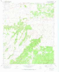
1970 · Cactus Flat
USGS Topo · 1:24,000
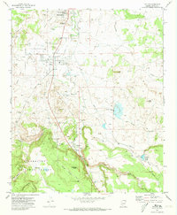
1970 · Taylor
USGS Topo · 1:24,000
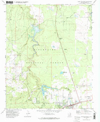
1970 · Show Low North
USGS Topo · 1:24,000