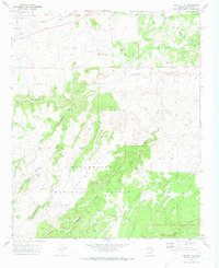
1970 Map of Cactus Flat
USGS Topo · Published 1973About this map
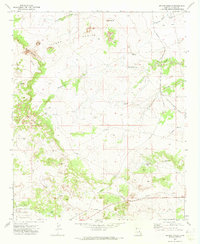
Sitgreaves National Forest dominates the southern landscape of this Arizona survey, where the high-desert terrain of Cactus Flat is defined by an intricate network of drainage channels and cattle-watering infrastructure. The map reveals a land management pattern dependent on isolated water sources such as Thomas Windmill, Cactus Flat Windmill, and Linden Windmill, as well as various stock tanks like Ballard Tank and Northeast Tank.
Find a feature on this map
30 named features on this map. Tap any name to fly to it.
Don’t see what you’re looking for? This feature index may not catch every label — zoom into the map to look around manually.
Map Details
Editions of this 1970 Cactus Flat Map
2 editions found
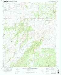
Other maps of this area

1886 · Holbrook
USGS Topo · 1:250,000

1893 · Holbrook
USGS Topo · 1:250,000

1954 · Holbrook
USGS Topo · 1:250,000

1957 · Holbrook
USGS Topo · 1:250,000

1958 · Holbrook
USGS Topo · 1:250,000

1960 · Holbrook
USGS Topo · 1:250,000

1961 · Clay Springs
USGS Topo · 1:62,500
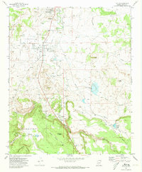
1970 · Taylor
USGS Topo · 1:24,000
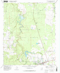
1970 · Show Low North
USGS Topo · 1:24,000
1970 · Second Knolls
USGS Topo · 1:24,000