
1963 Map of Cactus Tank
USGS Topo · Published 1965About this map
Mesa Antonio Ortiz Montoya dominates this New Mexico landscape, which was meticulously mapped in the early 1960s. The map captures a transition between the rugged mesa terrain and the lowlands of the Conchas River to the north and Alamito Creek to the south. This era reveals a sparsely populated ranching environment where water management was critical, evidenced by the distribution of catchment points like Cactus Tank, Saxon Tank, and Horsehead Tank.
Find a feature on this map
14 named features on this map. Tap any name to fly to it.
Don’t see what you’re looking for? This feature index may not catch every label — zoom into the map to look around manually.
Map Details
Editions of this 1963 Cactus Tank Map
This is the sole edition of this map. No revisions or reprints were ever made.
Other maps of this area

1892 · Corazon
USGS Topo · 1:125,000

1894 · Corazon
USGS Topo · 1:125,000

1954 · Santa Fe
USGS Topo · 1:250,000

1958 · Santa Fe
USGS Topo · 1:250,000

1963 · Pedro Miguel Peak
USGS Topo · 1:24,000
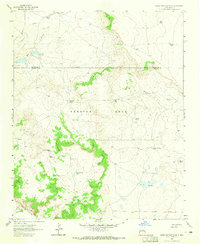
1963 · Horse Pasture Tank
USGS Topo · 1:24,000
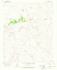
1963 · Bar Y Ranch
USGS Topo · 1:24,000
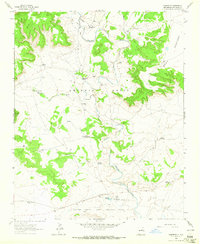
1963 · Chaperito
USGS Topo · 1:24,000

1963 · Flagstone Mountain
USGS Topo · 1:24,000
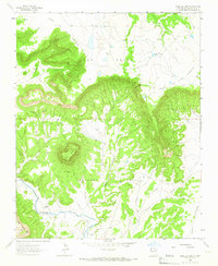
1963 · Mesa Lauriano
USGS Topo · 1:24,000