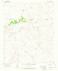
1963 Map of Bar Y Ranch
USGS Topo · Published 1965About this map
Preston Beck Grant lands and the East Boundary Anton Chico Grant converge in this high-desert landscape of Guadalupe and San Miguel Counties. The territory is defined by a ranching economy reliant on carefully placed water sources, including Sabino Springs and numerous stock tanks like Antelope Tank and Bookout Tank. The terrain is marked by the prominent Bar Y Dome and the deep cut of Box Canyon, while ephemeral water bodies such as Sabino Lake, Puerticito Lake, and Dry Lake dot the plateau. Evidence of early infrastructure is seen in the Pipeline that traverses the southern reach of the quadrangle. The Bar Y Ranch and Cowden Ranch serve as the primary human landmarks in a region where geography and land grants dictated the patterns of settlement and land use.
Find a feature on this map
21 named features on this map. Tap any name to fly to it.
Don’t see what you’re looking for? This feature index may not catch every label — zoom into the map to look around manually.
Map Details
Editions of this 1963 Bar Y Ranch Map
2 editions found
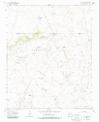
Other maps of this area

1892 · Corazon
USGS Topo · 1:125,000

1894 · Corazon
USGS Topo · 1:125,000

1954 · Santa Fe
USGS Topo · 1:250,000

1958 · Santa Fe
USGS Topo · 1:250,000

1963 · Colonias
USGS Topo · 1:24,000

1963 · Cactus Tank
USGS Topo · 1:24,000

1963 · Mesa Cherisco
USGS Topo · 1:24,000

1963 · Sacaton Draw
USGS Topo · 1:24,000
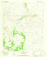
1963 · Horse Pasture Tank
USGS Topo · 1:24,000
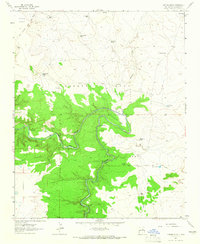
1963 · Catfish Falls
USGS Topo · 1:24,000