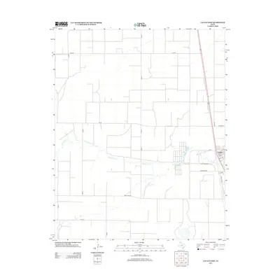
2012 Map of Cactus West
USGS Topo · Published 2012About this map
Cactus occupies the eastern edge of this High Plains landscape, showcasing a grid of residential and industrial streets in Moore County. The settlement pattern is defined by straight section-line roads like Cord BB and Road 7, which cross the vast agricultural expanses of the Texas Panhandle. Cutting through this geometric regularity is the meandering course of N Palo Duro Cr, providing a rare organic shape in a region dominated by large-scale farming and ranching operations. The street names in Cactus, such as Lometa Dr and Tumbleweed Rd, reflect the local character, while major arteries like Ranch Road 281 and FM-297 facilitate the movement of goods through this productive rural interior.
Find a feature on this map
23 named features on this map. Tap any name to fly to it.
Don’t see what you’re looking for? This feature index may not catch every label — zoom into the map to look around manually.
Map Details
Editions of this 2012 Cactus West Map
This is the sole edition of this map. No revisions or reprints were ever made.
Other maps of this area

1954 · Tucumcari
USGS Topo · 1:250,000

1954 · Perryton
USGS Topo · 1:250,000

1954 · Amarillo
USGS Topo · 1:250,000

1954 · Dalhart
USGS Topo · 1:250,000

1958 · Perryton
USGS Topo · 1:250,000

1958 · Amarillo
USGS Topo · 1:250,000

1958 · Tucumcari
USGS Topo · 1:250,000

1958 · Dalhart
USGS Topo · 1:250,000

1962 · Dalhart
USGS Topo · 1:250,000

1963 · Cactus East
USGS Topo · 1:24,000