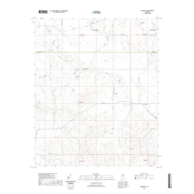
2020 Map of Cadaretta
USGS Topo · Published 2020About this map
Cadaretta and Dentontown occupy a landscape defined by the drainage divide between the Calhoun and Webster county line. This 2020 edition documents the rural character of the region, where family-named landmarks and historical burial grounds such as Philadelphia Cem and Spring Hill Cem remain the primary focal points of the community. The terrain is shaped by numerous waterways, including Sabougla Creek and Horse Pen Cr, which carve through the elevations of Bald Hill and Sandy Mtn. The map shows a transition from the structured township of Slate Springs in the northeast to the more dispersed homesteads and farms connected by a network of rural roads like Cadaretta Rd and Dentontown Rd. The density of cemeteries, from Roberts Cem to Pittman Cem, offers a detailed spatial record for genealogists studying the generational families of this North Mississippi corridor.
Find a feature on this map
63 named features on this map. Tap any name to fly to it.
Don’t see what you’re looking for? This feature index may not catch every label — zoom into the map to look around manually.
Map Details
Editions of this 2020 Cadaretta Map
This is the sole edition of this map. No revisions or reprints were ever made.
Other maps of this area

1953 · Walthall
USGS Topo · 1:62,500

1953 · West Point
USGS Topo · 1:250,000

1954 · Pittsboro
USGS Topo · 1:62,500

1954 · Duck Hill
USGS Topo · 1:62,500

1955 · Coffeeville
USGS Topo · 1:62,500

1958 · West Point
USGS Topo · 1:250,000

1963 · West Point
USGS Topo · 1:250,000
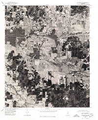
1976 · Pittsboro SE
USGS Topo · 1:24,000
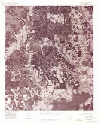
1976 · Walthall SE
USGS Topo · 1:24,000
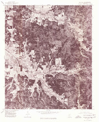
1976 · Walthall NE
USGS Topo · 1:24,000