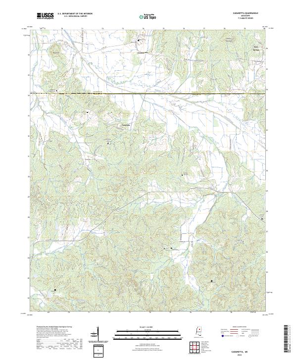
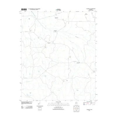
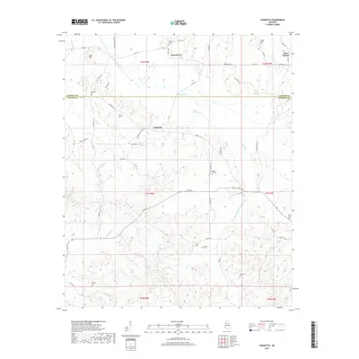
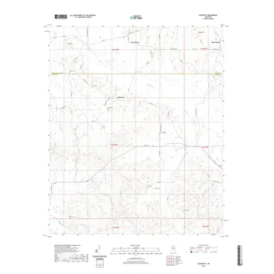
2024 Map of Cadaretta
USGS Topo · Published 2024About this map
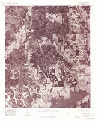
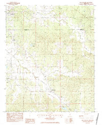
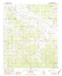
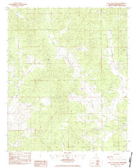
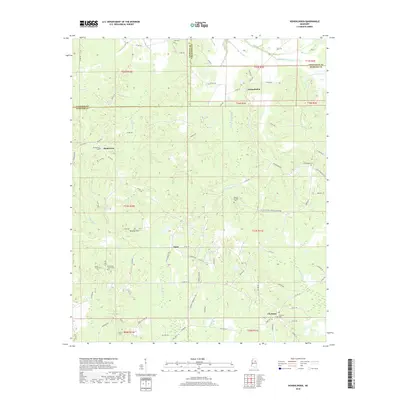
Sabougla Creek meanders through the boundary between Calhoun and Webster Counties, anchoring a landscape defined by small rural settlements and family cemeteries. Slate Springs sits in the northeast corner, while the namesake hamlet of Cadaretta occupies the central valley near Lindsay Creek. The terrain transitions from the low-lying wetlands of East Fork Bogue Creek to the elevations of Bald Hill and Sandy Mountain. For those researching local history, the map provides precise locations for numerous community burial grounds, including Philadelphia Cem and Spring Hill Cem, reflecting the deep-rooted family ties along Pryor Creek and Horse Pen Creek. A network of county roads like Cadaretta Rd and Dentontown Rd connects these longstanding Mississippi communities.
Find a feature on this map
63 named features on this map. Tap any name to fly to it.
Don’t see what you’re looking for? This feature index may not catch every label — zoom into the map to look around manually.
Map Details
Editions of this 2024 Cadaretta Map
This is the sole edition of this map. No revisions or reprints were ever made.
Historical Maps of Cadaretta Through Time
32 maps found
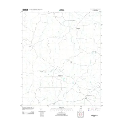
1972 Hohenlinden
Webster County, MS
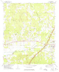
1972 Sapa
Webster County, MS
1976 Walthall NE
Webster County, MS
1976 Walthall SE
Webster County, MS
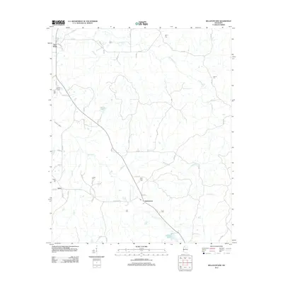
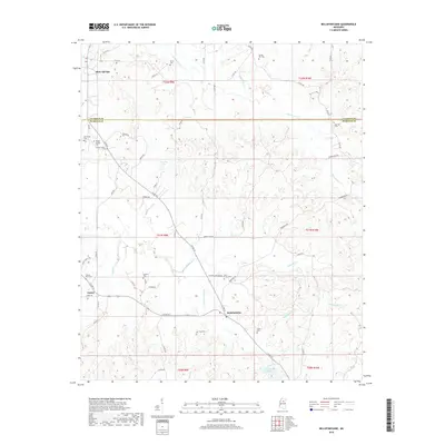
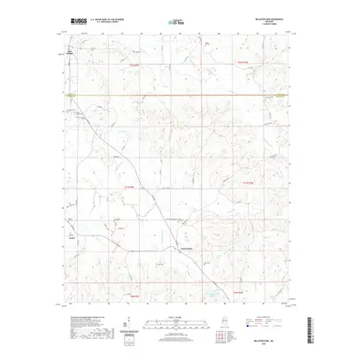
1983 Bellefontaine
Webster County, MS
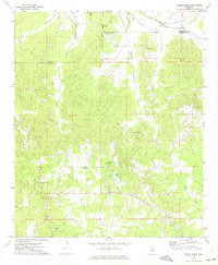
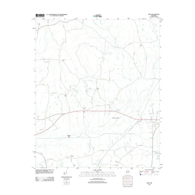
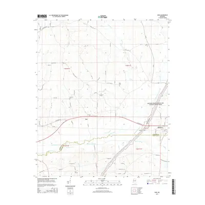
1983 Cadaretta
Webster County, MS
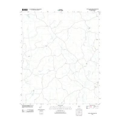
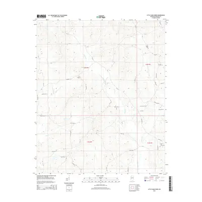
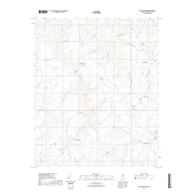
1983 Little Sand Creek
Webster County, MS
2012 Bellefontaine
Webster County, MS
2012 Cadaretta
Webster County, MS
2012 Hohenlinden
Webster County, MS
2012 Little Sand Creek
Webster County, MS
2012 Sapa
Webster County, MS
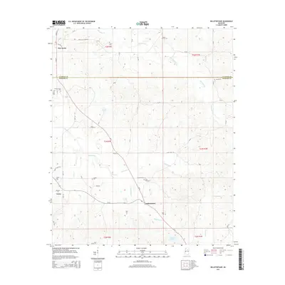
2015 Bellefontaine
Webster County, MS
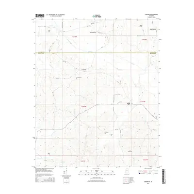
2015 Cadaretta
Webster County, MS
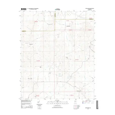
2015 Hohenlinden
Webster County, MS
2015 Little Sand Creek
Webster County, MS
2015 Sapa
Webster County, MS
2018 Bellefontaine
Webster County, MS
2018 Cadaretta
Webster County, MS
2018 Hohenlinden
Webster County, MS
2018 Little Sand Creek
Webster County, MS
2018 Sapa
Webster County, MS
2020 Bellefontaine
Webster County, MS
2020 Cadaretta
Webster County, MS
2020 Hohenlinden
Webster County, MS
2020 Sapa
Webster County, MS
2021 Little Sand Creek
Webster County, MS
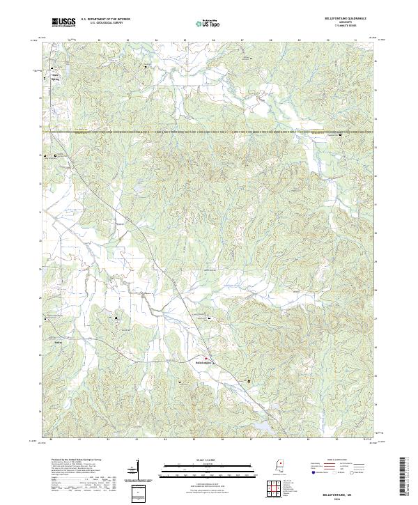
2024 Bellefontaine
Webster County, MS
2024 Cadaretta
Webster County, MS
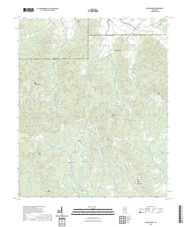
2024 Hohenlinden
Webster County, MS
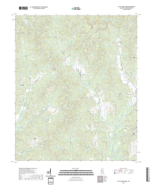
2024 Little Sand Creek
Webster County, MS
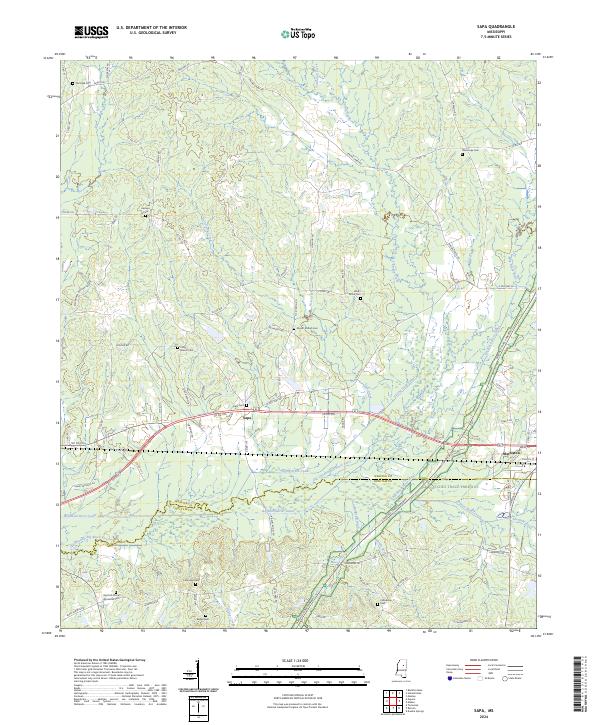
2024 Sapa
Webster County, MS