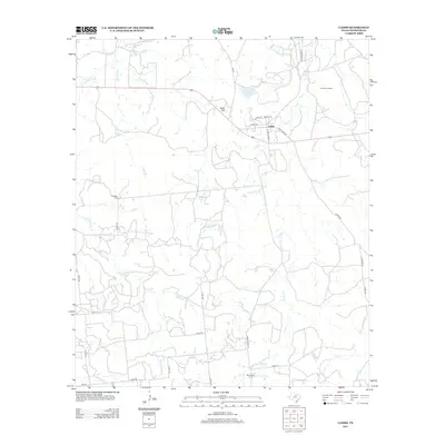
2012 Map of Caddo
USGS Topo · Published 2012About this map
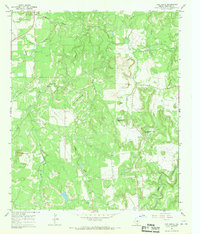
Caddo serves as the central hub of this Stephens County landscape, where the local road network converges near the banks of Caddo Cr. This modern survey reveals a countryside shaped by both natural drainage and industrial resource extraction, notably marked by the Gourley Oil Field to the northeast. Small-scale water features like T P Lake and several named branches including Post Oak Br and Hitson Br define the local topography, while the rise of Yates Hill provides a distinct landmark north of the settlement.
Find a feature on this map
32 named features on this map. Tap any name to fly to it.
Don’t see what you’re looking for? This feature index may not catch every label — zoom into the map to look around manually.
Map Details
Editions of this 2012 Caddo Map
This is the sole edition of this map. No revisions or reprints were ever made.
Other maps of this area

1890 · Breckenridge
USGS Topo · 1:125,000

1924 · Breckenridge 1-d
USGS Topo · 1:48,000

1931 · Ivan
USGS Topo · 1:62,500

1954 · Abilene
USGS Topo · 1:250,000

1958 · Abilene
USGS Topo · 1:250,000
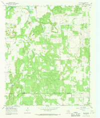
1967 · Wayland
USGS Topo · 1:24,000

1967 · Necessity
USGS Topo · 1:24,000
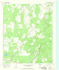
1967 · Grand Lake
USGS Topo · 1:24,000
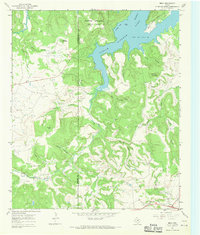
1967 · Brad
USGS Topo · 1:24,000
1967 · Ivan South
USGS Topo · 1:24,000