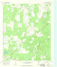
1967 Map of Grand Lake
USGS Topo · Published 1970About this map
Stephens County ranchlands and energy resources define this landscape mapped during the mid-1960s. The topography is dominated by the complex drainage systems of Bufford Creek, Cedar Creek, and the various forks of the river, including the East Fork, West Fork, and Yellow Fork. These waterways cut through the terrain, punctuated by the namesake Grand Lake and its tributary, Big Branch.
Find a feature on this map
17 named features on this map. Tap any name to fly to it.
Don’t see what you’re looking for? This feature index may not catch every label — zoom into the map to look around manually.
Map Details
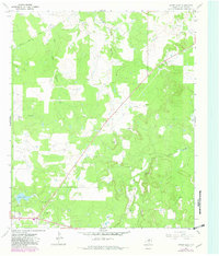
Editions of this 1967 Grand Lake Map
2 editions found
Other maps of this area

1890 · Breckenridge
USGS Topo · 1:125,000

1925 · Breckenridge 1-b
USGS Topo · 1:48,000

1931 · Ivan
USGS Topo · 1:62,500

1954 · Abilene
USGS Topo · 1:250,000

1958 · Abilene
USGS Topo · 1:250,000

1958 · Breckenridge
USGS Topo · 1:24,000

1961 · Buck Mountain
USGS Topo · 1:24,000
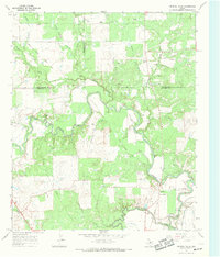
1967 · Crystal Falls
USGS Topo · 1:24,000

1967 · Necessity
USGS Topo · 1:24,000
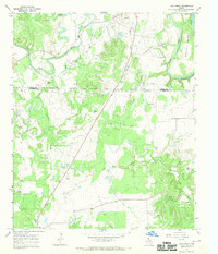
1967 · Ivan North
USGS Topo · 1:24,000