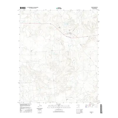
2016 Map of Caddo
USGS Topo · Published 2016About this map
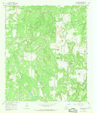
Caddo serves as the central hub of this Stephens County landscape, situated at the junction of several ranch roads and the main highway. The surrounding terrain is marked by a network of seasonal waterways and small lakes, including Rogers Lake and T P Lake to the north, and the larger Carey Lake further south. For those researching local families, the presence of Caddo Cem, Swenson Cem, and Macedonia Cem provides vital geographic markers for the area's early inhabitants. An interesting industrial footprint is visible near the center of the map with the Ohio Oil Company Reservoir, signifying the region's connection to the petroleum industry. The topography is defined by prominent elevations such as Yates Hill, which rises above the drainages of Caddo Creek and Post Oak Branch.
Find a feature on this map
33 named features on this map. Tap any name to fly to it.
Don’t see what you’re looking for? This feature index may not catch every label — zoom into the map to look around manually.
Map Details
Editions of this 2016 Caddo Map
This is the sole edition of this map. No revisions or reprints were ever made.
Other maps of this area

1890 · Breckenridge
USGS Topo · 1:125,000

1924 · Breckenridge 1-d
USGS Topo · 1:48,000

1931 · Ivan
USGS Topo · 1:62,500

1954 · Abilene
USGS Topo · 1:250,000

1958 · Abilene
USGS Topo · 1:250,000
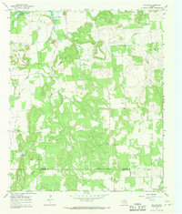
1967 · Wayland
USGS Topo · 1:24,000

1967 · Necessity
USGS Topo · 1:24,000
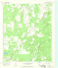
1967 · Grand Lake
USGS Topo · 1:24,000
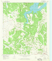
1967 · Brad
USGS Topo · 1:24,000
1967 · Ivan South
USGS Topo · 1:24,000