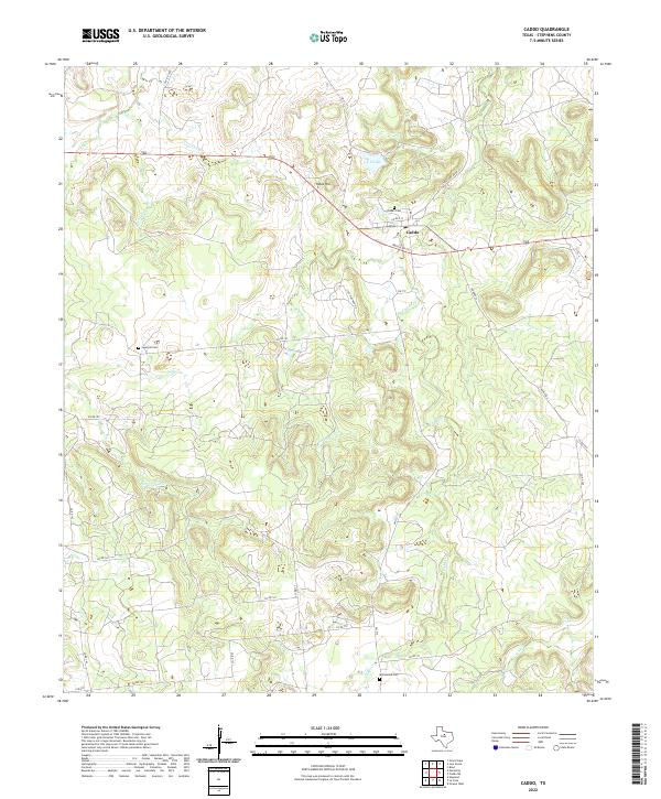
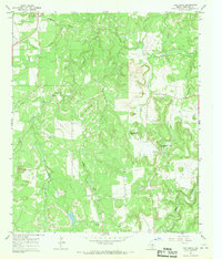
2022 Map of Caddo
USGS Topo · Published 2022About this map
Caddo serves as the central hub of this Stephens County landscape, situated at the intersection of several regional routes including Ranch Rd 717 and State Park Road 33. The topography is defined by the drainage systems of Caddo Cr and Little Cedar Cr, which carve through the terrain surrounding Yates Hill. Local history and genealogy are anchored by three distinct burial grounds: Caddo Cem near the town site, Swenson Cem to the west, and Macedonia Cem in the southern reaches of the quadrangle.
Find a feature on this map
33 named features on this map. Tap any name to fly to it.
Don’t see what you’re looking for? This feature index may not catch every label — zoom into the map to look around manually.
Map Details
Editions of this 2022 Caddo Map
This is the sole edition of this map. No revisions or reprints were ever made.
Other maps of this area

1890 · Breckenridge
USGS Topo · 1:125,000

1924 · Breckenridge 1-d
USGS Topo · 1:48,000

1931 · Ivan
USGS Topo · 1:62,500

1954 · Abilene
USGS Topo · 1:250,000

1958 · Abilene
USGS Topo · 1:250,000
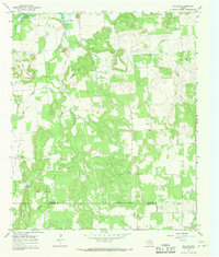
1967 · Wayland
USGS Topo · 1:24,000

1967 · Necessity
USGS Topo · 1:24,000
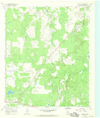
1967 · Grand Lake
USGS Topo · 1:24,000
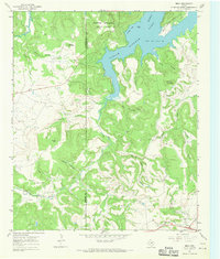
1967 · Brad
USGS Topo · 1:24,000
1967 · Ivan South
USGS Topo · 1:24,000