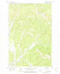
1963 Map of Cadotte Creek
USGS Topo · Published 1975About this map
The Continental Divide crests through this mountain landscape, marking the high country between the Missouri and Columbia River watersheds. This area within the Helena National Forest is defined by the steep drainages of Alice Creek and Cadotte Creek, which flow toward the Blackfoot River in the south. The map documents a rugged interior of the Rockies during the early 1960s, showing a network of gulches—such as Paymaster Gulch and Surveyors Gulch—that hint at the region's prospecting and surveying history.
Find a feature on this map
31 named features on this map. Tap any name to fly to it.
Don’t see what you’re looking for? This feature index may not catch every label — zoom into the map to look around manually.
Map Details
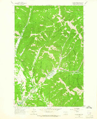
Editions of this 1963 Cadotte Creek Map
2 editions found
Other maps of this area

1889 · Helena
USGS Topo · 1:250,000

1893 · Helena
USGS Topo · 1:250,000

1899 · Helena
USGS Topo · 1:250,000

1903 · Coopers Lake
USGS Topo · 1:125,000

1903 · Helena
USGS Topo · 1:250,000

1943 · Hogan
USGS Topo · 1:125,000

1947 · Butte
USGS Topo · 1:250,000

1955 · Choteau
USGS Topo · 1:250,000

1957 · Choteau
USGS Topo · 1:250,000

1958 · Butte
USGS Topo · 1:250,000