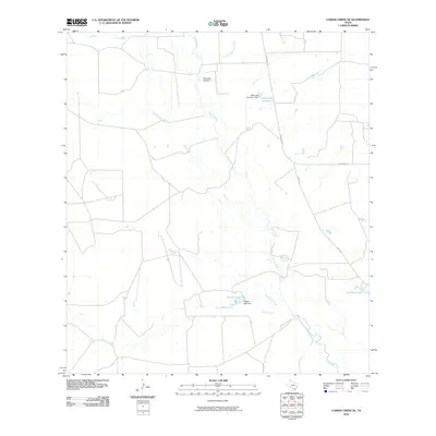
2010 Map of Caiman Creek NE
USGS Topo · Published 2010About this map
The Nueces River winds through this South Texas landscape, joined by a network of drainage systems including Las Raices Creek and Charco Marrano Creek. This 2010 survey reflects an area defined by water management and ranching infrastructure, characterized by several named reservoirs and impoundments. Notable among these are Hillje Lake Number 2 and Coquat Lake, both supported by their respective dams.
Find a feature on this map
12 named features on this map. Tap any name to fly to it.
Don’t see what you’re looking for? This feature index may not catch every label — zoom into the map to look around manually.
Map Details
Editions of this 2010 Caiman Creek NE Map
This is the sole edition of this map. No revisions or reprints were ever made.
Other maps of this area

1929 · Cotulla
USGS Topo · 1:125,000

1940 · Cotulla
USGS Topo · 1:62,500

1942 · Fowlerton
USGS Topo · 1:62,500

1953 · Crystal City
USGS Topo · 1:250,000

1955 · Crystal City
USGS Topo · 1:250,000

1956 · Piedra Creek
USGS Topo · 1:62,500

1956 · Fowlerton
USGS Topo · 1:62,500

1957 · Caiman Creek
USGS Topo · 1:62,500

1961 · Crystal City
USGS Topo · 1:250,000

1968 · Crystal City
USGS Topo · 1:250,000