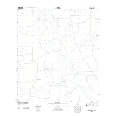
2013 Map of Caiman Creek NE
USGS Topo · Published 2013About this map
Nueces River tributaries wind through this ranching landscape in southern Texas, where seasonal water sources and isolated livestock operations define the land use. The presence of Charco Largo Spring and numerous small catchment basins like Hillje Lake Number 2 and Coquat Lake reflect the critical importance of water management in this arid environment. The map shows a region dominated by large-scale land holdings, evidenced by the private aviation access at the Los Cuernos Ranch Airport. Transport across these wide stretches is facilitated by FM-624 and a network of unimproved roads that navigate between drainage systems such as Las Raices Cr and Caiman Cr. This survey illustrates the modern configuration of South Texas rangeland, where traditional grazing practices utilize natural features like La Mata Lake alongside contemporary infrastructure.
Find a feature on this map
10 named features on this map. Tap any name to fly to it.
Don’t see what you’re looking for? This feature index may not catch every label — zoom into the map to look around manually.
Map Details
Editions of this 2013 Caiman Creek NE Map
This is the sole edition of this map. No revisions or reprints were ever made.
Other maps of this area

1929 · Cotulla
USGS Topo · 1:125,000

1940 · Cotulla
USGS Topo · 1:62,500

1942 · Fowlerton
USGS Topo · 1:62,500

1953 · Crystal City
USGS Topo · 1:250,000

1955 · Crystal City
USGS Topo · 1:250,000

1956 · Piedra Creek
USGS Topo · 1:62,500

1956 · Fowlerton
USGS Topo · 1:62,500

1957 · Caiman Creek
USGS Topo · 1:62,500

1961 · Crystal City
USGS Topo · 1:250,000

1968 · Crystal City
USGS Topo · 1:250,000