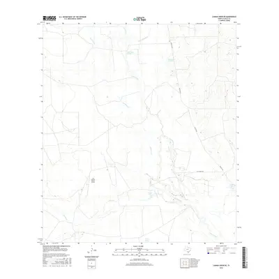
2016 Map of Caiman Creek NE
USGS Topo · Published 2016About this map
The Nueces River winds through this South Texas landscape in La Salle County, defining a drainage basin characterized by seasonal creeks and ephemeral lakes. The area is dominated by large-scale ranching operations, centered around the Los Cuernos Ranch Airport. Water remains the primary geographical influence, with the presence of Charco Largo Spring and named water bodies like Hillje Lake Number 1, Hillje Lake Number 2, and Coquat Lake indicating the importance of water management in this arid region.
Find a feature on this map
13 named features on this map. Tap any name to fly to it.
Don’t see what you’re looking for? This feature index may not catch every label — zoom into the map to look around manually.
Map Details
Editions of this 2016 Caiman Creek NE Map
This is the sole edition of this map. No revisions or reprints were ever made.
Other maps of this area

1929 · Cotulla
USGS Topo · 1:125,000

1940 · Cotulla
USGS Topo · 1:62,500

1942 · Fowlerton
USGS Topo · 1:62,500

1953 · Crystal City
USGS Topo · 1:250,000

1955 · Crystal City
USGS Topo · 1:250,000

1956 · Piedra Creek
USGS Topo · 1:62,500

1956 · Fowlerton
USGS Topo · 1:62,500

1957 · Caiman Creek
USGS Topo · 1:62,500

1961 · Crystal City
USGS Topo · 1:250,000

1968 · Crystal City
USGS Topo · 1:250,000