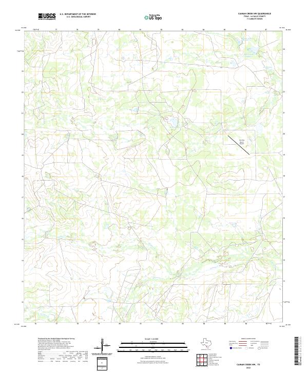
2022 Map of Caiman Creek NW
USGS Topo · Published 2022About this map
The arid ranchlands of La Salle County define this survey, where seasonal waterways and managed catchments dictate the patterns of land use. Significant water features including Koehne Lake and Snowden Lake punctuate a landscape otherwise carved by the intermittent flows of Caiman Creek and Chucareto Creek. These features illustrate the vital role of water management in South Texas ranching operations, where named tanks and lakes serve as critical nodes for livestock and wildlife in a thirsty environment.
Find a feature on this map
9 named features on this map. Tap any name to fly to it.
Don’t see what you’re looking for? This feature index may not catch every label — zoom into the map to look around manually.
Map Details
Editions of this 2022 Caiman Creek NW Map
This is the sole edition of this map. No revisions or reprints were ever made.
Other maps of this area

1927 · Bart
USGS Topo · 1:62,500

1929 · Cotulla
USGS Topo · 1:125,000

1940 · Cotulla
USGS Topo · 1:62,500

1940 · Artesia Wells
USGS Topo · 1:62,500

1953 · Crystal City
USGS Topo · 1:250,000

1955 · Crystal City
USGS Topo · 1:250,000

1957 · Encinal
USGS Topo · 1:62,500

1957 · Caiman Creek
USGS Topo · 1:62,500

1961 · Crystal City
USGS Topo · 1:250,000

1968 · Crystal City
USGS Topo · 1:250,000