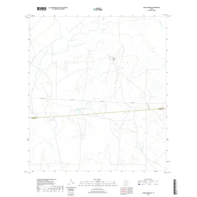
2019 Map of Caiman Creek SE
USGS Topo · Published 2019About this map
La Salle and Webb counties share a boundary line across this brush country landscape, where ranching infrastructure and intermittent water sources define the terrain. The presence of the Monte Cartado Ranch-Tank Number 1 and the Crescent C Ranch Airport indicates the private land management typical of this South Texas region. Water management is central to the area's utility, evidenced by named features like Nunley Lake Number 3 and Traylor Lake, which provide critical collection points in a territory drained by Los Olmos Cr. In the northeastern corner, the Nueces River skirts the map, while Charco Largo Spring suggests a natural water source that has likely drawn livestock and wildlife for generations. Roads such as Coquate Rd and Ranch Rd 8216A provide the primary transit through these expansive ranch lands.
Find a feature on this map
10 named features on this map. Tap any name to fly to it.
Don’t see what you’re looking for? This feature index may not catch every label — zoom into the map to look around manually.
Map Details
Editions of this 2019 Caiman Creek SE Map
This is the sole edition of this map. No revisions or reprints were ever made.
Other maps of this area

1929 · Cotulla
USGS Topo · 1:125,000

1953 · Crystal City
USGS Topo · 1:250,000

1955 · Crystal City
USGS Topo · 1:250,000

1956 · Becerra
USGS Topo · 1:62,500

1956 · Piedra Creek
USGS Topo · 1:62,500

1956 · Las Mujeres
USGS Topo · 1:62,500

1956 · Laredo
USGS Topo · 1:250,000

1957 · Caiman Creek
USGS Topo · 1:62,500

1961 · Crystal City
USGS Topo · 1:250,000

1968 · Crystal City
USGS Topo · 1:250,000