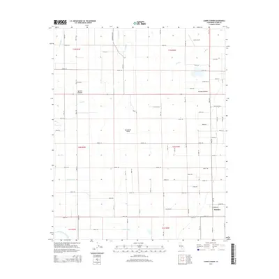
2015 Map of Cairns Corner
USGS Topo · Published 2015About this map
Agricultural life in the San Joaquin Valley is defined by a complex network of irrigation and drainage visible in this modern topographic survey. The landscape is dominated by a rigid grid of roads and avenues, punctuated by vital water management features such as Farmers Ditch, Gray Ditch, and Bliss Ditch. These waterways support the orchards and fields surrounding the central settlement of Plainview, while small crossroads communities like Cairns Corner and Spinks Corner serve as local landmarks. The northern portion of the map includes the Exeter Airport, situated just south of Lewis Cr. Toward the southern boundary, the hydrology transitions into the Porter Slough and the North Branch Tule River, illustrating the fundamental relationship between the valley's natural drainage and its engineered water systems.
Find a feature on this map
67 named features on this map. Tap any name to fly to it.
Don’t see what you’re looking for? This feature index may not catch every label — zoom into the map to look around manually.
Map Details
Editions of this 2015 Cairns Corner Map
This is the sole edition of this map. No revisions or reprints were ever made.
Other maps of this area

1925 · Rocky Hill
USGS Topo · 1:31,680

1925 · Tulare
USGS Topo · 1:31,680

1925 · Tipton
USGS Topo · 1:31,680

1926 · Exeter
USGS Topo · 1:31,680

1927 · Cairns Corner
USGS Topo · 1:31,680

1927 · Rocky Hill
USGS Topo · 1:31,680

1927 · Visalia
USGS Topo · 1:31,680

1927 · Tulare
USGS Topo · 1:31,680

1928 · Tipton
USGS Topo · 1:31,680

1928 · Woodville
USGS Topo · 1:31,680