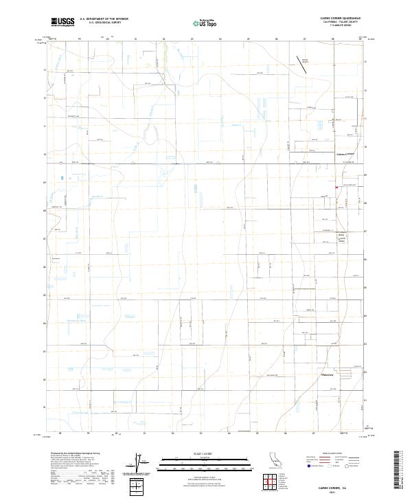
2021 Map of Cairns Corner
USGS Topo · Published 2021About this map
Agricultural irrigation networks and small-scale aviation define this portion of the San Joaquin Valley in Tulare County. The map details an intricate system of water management essential to the region's productivity, featuring the Farmers Ditch, Bliss Ditch, and Hutchinson Ditch alongside natural drainage such as Elk Bayou and Porter Slough. This hydrography is woven into a rigid grid of rural roads, including Ave 232 and Ave 200, which connect scattered residential clusters and farming operations.
Find a feature on this map
54 named features on this map. Tap any name to fly to it.
Don’t see what you’re looking for? This feature index may not catch every label — zoom into the map to look around manually.
Map Details
Editions of this 2021 Cairns Corner Map
This is the sole edition of this map. No revisions or reprints were ever made.
Other maps of this area

1925 · Rocky Hill
USGS Topo · 1:31,680

1925 · Tulare
USGS Topo · 1:31,680

1925 · Tipton
USGS Topo · 1:31,680

1926 · Exeter
USGS Topo · 1:31,680

1927 · Cairns Corner
USGS Topo · 1:31,680

1927 · Rocky Hill
USGS Topo · 1:31,680

1927 · Visalia
USGS Topo · 1:31,680

1927 · Tulare
USGS Topo · 1:31,680

1928 · Tipton
USGS Topo · 1:31,680

1928 · Woodville
USGS Topo · 1:31,680