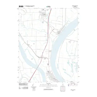
2010 Map of Cairo
USGS Topo · Published 2010About this map
The confluence of the Mississippi River and the Ohio River defines this river-driven landscape, where the southern tip of Illinois meets the Kentucky and Missouri borders. At the heart of this junction lies Cairo, a city historically shaped by its strategic position on the levees. The map reveals a dense network of smaller settlements and developments extending north, including Future City, Urbandale, and Elmwood Place, often linked by Interstate 57 and Old US Hwy 51.
Find a feature on this map
59 named features on this map. Tap any name to fly to it.
Don’t see what you’re looking for? This feature index may not catch every label — zoom into the map to look around manually.
Map Details
Editions of this 2010 Cairo Map
This is the sole edition of this map. No revisions or reprints were ever made.
Other maps of this area

1931 · Cairo
USGS Topo · 1:62,500

1933 · Cairo
USGS Topo · 1:62,500

1934 · Thebes
USGS Topo · 1:62,500

1939 · Wickliffe
USGS Topo · 1:62,500

1939 · Charleston
USGS Topo · 1:62,500

1939 · Cairo
USGS Topo · 1:62,500

1939 · Thebes
USGS Topo · 1:62,500

1949 · Paducah
USGS Topo · 1:250,000

1950 · Paducah
USGS Topo · 1:250,000

1951 · Wickliffe
USGS Topo · 1:24,000